graphic-art, print, etching
#
graphic-art
#
baroque
# print
#
etching
#
landscape
#
etching
Dimensions: height 48.8 cm, width 116.4 cm
Copyright: Rijks Museum: Open Domain
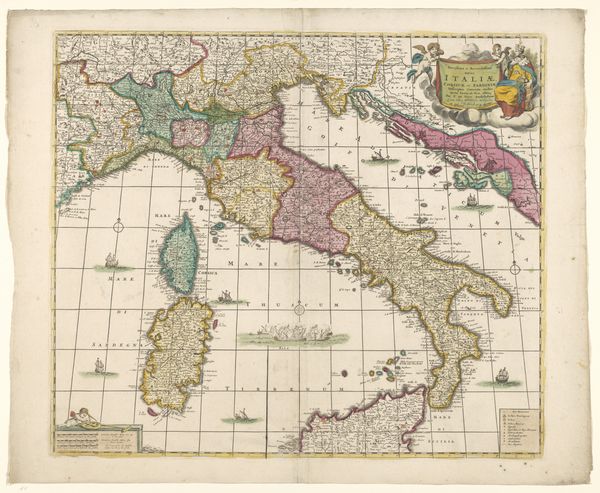
This is Gerard Valck’s map of the Mediterranean, a tableau of land and sea rendered with the engraver’s tool. The image presents itself as a guide for navigation and commerce. But let us not be deceived by its practical function, for within its lines and colors lies a symbolic language that speaks to the soul. Notice the rendering of coastlines, the borders of empires, as if etched not in ink but in memory itself. The sea, depicted as the cradle of civilization and the stage for countless human dramas, becomes a symbol for the vast, unknowable depths of the unconscious. Consider the islands scattered across the sea; each one becomes an individual psyche afloat in the collective unconscious. They evoke the heroic symbolism of islands in Homer's "Odyssey", where each island that Odysseus visited was a trial on his path to self-discovery. The map transcends its geographical purpose, resonating with the viewer on a subconscious level, reminding us of our shared past and our collective dreams.
Comments
No comments
Be the first to comment and join the conversation on the ultimate creative platform.
More like this