print, etching, paper, engraving
#
treasure map
#
aged paper
# print
#
etching
#
landscape
#
paper
#
geometric
#
line
#
history-painting
#
natural palette
#
engraving
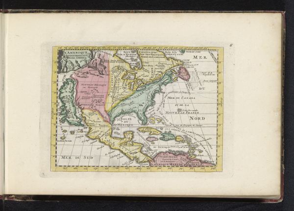
Dimensions: height 470 mm, width 520 mm
Copyright: Rijks Museum: Open Domain
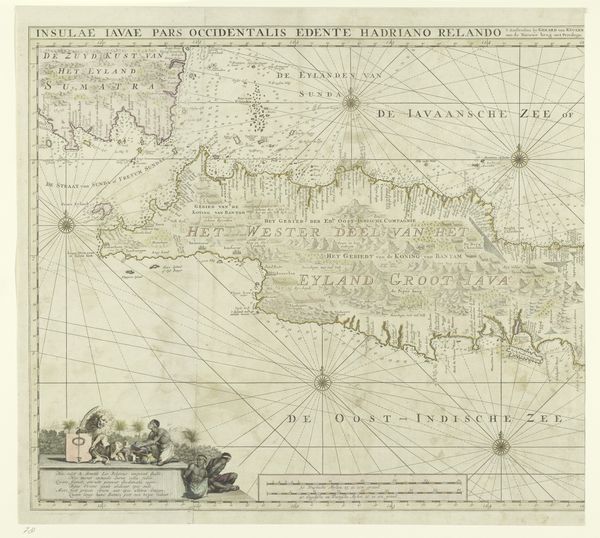
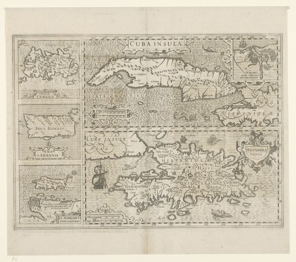
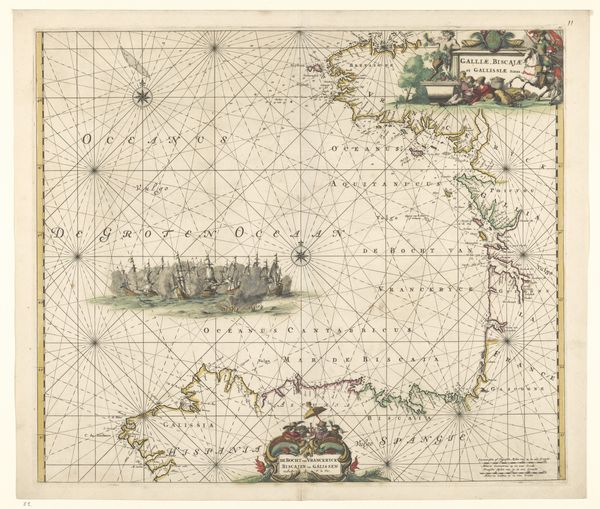
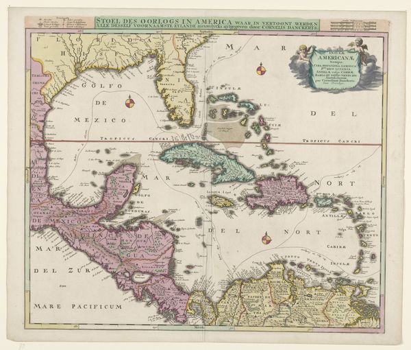
Editor: So, this is Johannes Janssonius's "Kaart van Midden-Amerika en het Caraïbisch gebied," made sometime between 1640 and 1660. It’s an etching, engraving, and print on paper. What immediately strikes me is the way the map depicts not just geography but also a sense of…possibility, perhaps? How do you interpret the symbolic language in a piece like this? Curator: That's a very astute observation! I think possibility, but also a nascent colonialism, lives in the iconography. Notice the elaborate cartouches. The very act of mapping was, in that era, an act of claiming and ordering the world. What do the compass roses signify to you, beyond cardinal directions? Editor: I guess they suggest navigation, exploration… maybe even dominion? Like, charting a course to control those regions. Curator: Exactly! Think about how the ships are portrayed too, sailing purposefully across the unknown. It reinforces a narrative of European expansion and dominance. Consider how this map functions as a visual representation of power, influencing perceptions and justifying actions. What is remembered is not just land but stories of voyages. Do you notice any religious imagery, either implicit or explicit? Editor: I don’t see any obvious religious symbols, but I suppose those cherubs at the bottom border might be suggestive of a divine right to explore. Or just… decoration, I guess. Curator: A fascinating interplay. But the combination underscores a cultural worldview taking shape. Now, consider what this map omits: the indigenous populations and their own understanding of their lands, subsumed under European place-names and control. Do you think there's still relevance to this layering of power that imagery carries even today? Editor: Definitely. It's made me consider how maps can be more than just geographical tools, they can embody cultural biases and political ambitions that continue to have repercussions today. It's about time as much as space. Curator: Precisely. Understanding the layered symbolism in historical maps allows us to critically examine the stories they tell and whose perspectives they prioritize.
Comments
No comments
Be the first to comment and join the conversation on the ultimate creative platform.
More like this