print, paper, engraving
#
ink paper printed
# print
#
landscape
#
paper
#
geometric
#
engraving
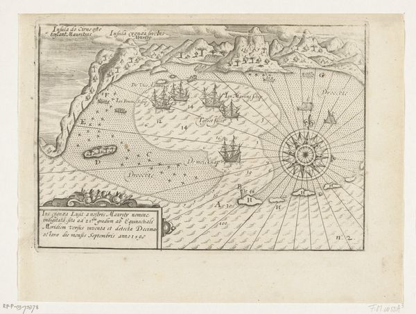
Dimensions: height 158 mm, width 207 mm
Copyright: Rijks Museum: Open Domain
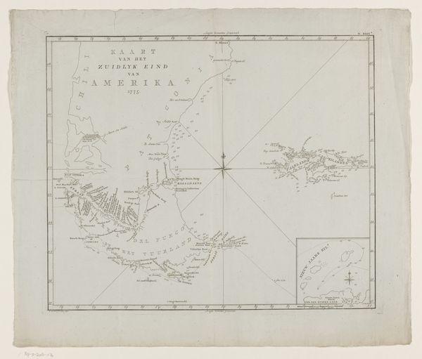
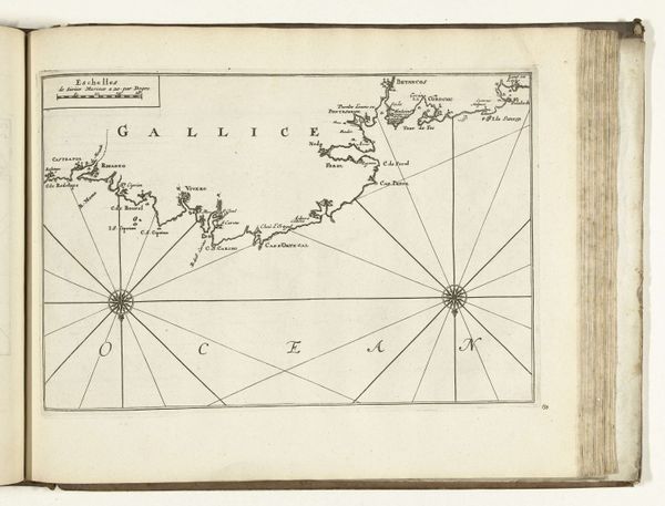
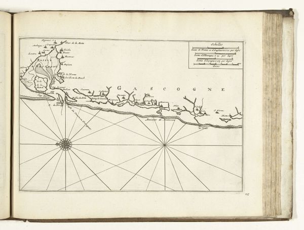
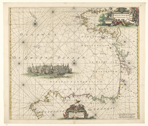
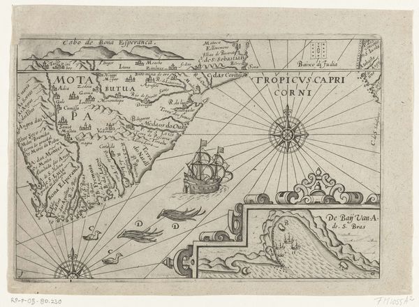
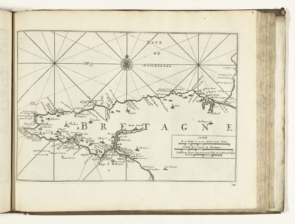
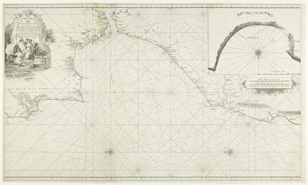
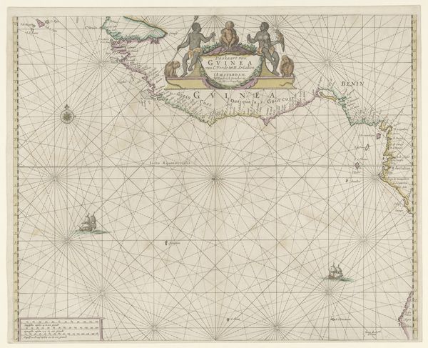
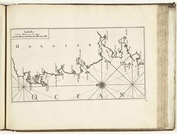
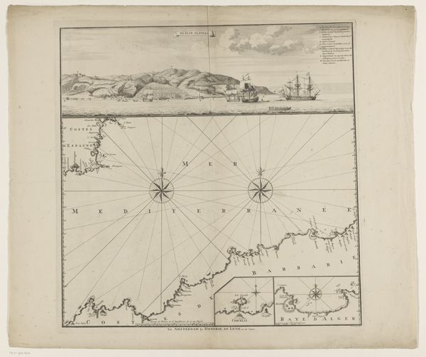
This is an anonymous map of Spitsbergen, dating to 1596, created as a print. The fine lines you see are the result of an engraving technique, where a metal plate, likely copper, was painstakingly incised to hold ink. This was then pressed onto paper, transferring the image. Look closely and you'll notice how the engraver used varying densities of lines to create a sense of depth and shadow, giving the map its visual texture. Mapmaking was essential for navigation and trade. This particular map reflects the intense labor involved in exploration. The engraving process itself, requiring a high level of skill, mirrors the physical demands of voyages into uncharted territory. By understanding the making of this map, we see how exploration and craft are intertwined with the history of labor and resource extraction.
Comments
No comments
Be the first to comment and join the conversation on the ultimate creative platform.
