print, engraving
#
dutch-golden-age
# print
#
landscape
#
history-painting
#
engraving
Dimensions: height 543 mm, width 595 mm
Copyright: Rijks Museum: Open Domain
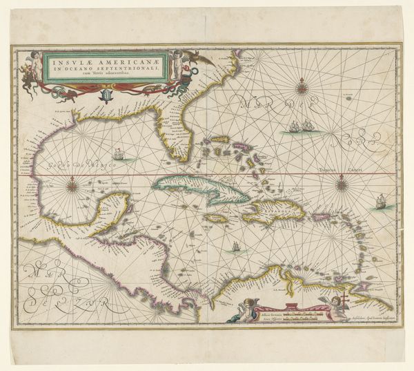
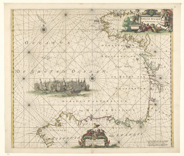
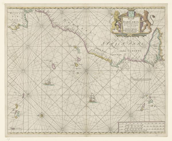
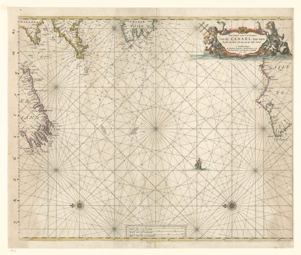
Gerard van Keulen crafted this map of western Java around the early 18th century, a period marked by intense exploration and colonial ambition. Note the compass roses dominating the seas, their radiating lines not merely navigational aids but symbols of mankind's urge to chart and control the unknown. The compass rose, or wind rose, is an ancient emblem, found in varying forms across cultures. From medieval portolan charts to Renaissance world maps, it represents direction, orientation, and the ambition to master the elements. Consider its echo in the 'wheel of fortune' motif, both images pulsating with the hope of guiding one's destiny. Such symbols, rooted in the collective memory, transcend mere representation. They engage our subconscious, evoking deep-seated desires and fears associated with exploration. Their cyclical recurrence over time serves as a testament to mankind's enduring quest for meaning and mastery over the world.
Comments
No comments
Be the first to comment and join the conversation on the ultimate creative platform.
More like this