graphic-art, print, engraving
#
graphic-art
#
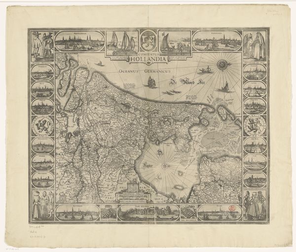
dutch-golden-age
# print
#
old engraving style
#
landscape
#
cityscape
#
history-painting
#
engraving
Dimensions: height 395 mm, width 490 mm
Copyright: Rijks Museum: Open Domain
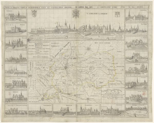
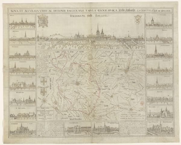
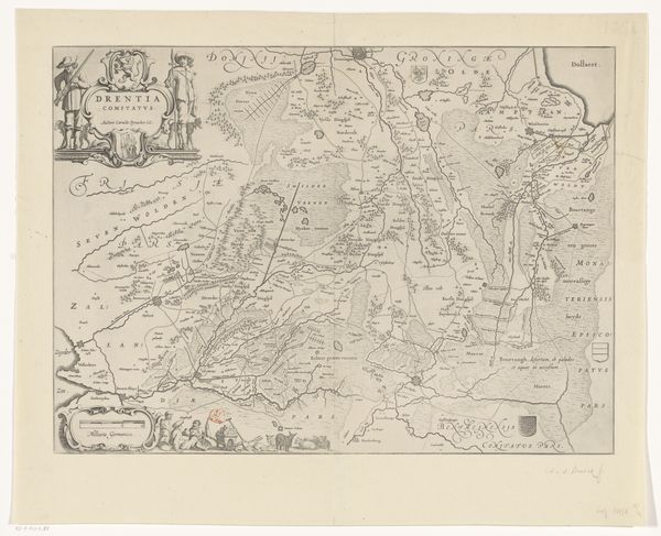
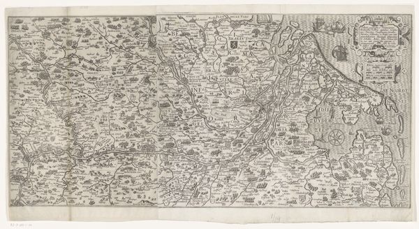
Curator: This intricate print, created by Vedastus du Plouich between 1641 and 1662, is titled "Kaart van de kasselrij Ieper en een gezicht op Ieper" or "Map of the Castellany of Ypres and a view of Ypres." It's an engraving offering both a geographical overview and an artistic representation of the region. Editor: It's striking how information and aesthetics blend! The map in the center almost seems like a practical tool. It's bordered with detailed architectural drawings—like looking through little windows into specific places. There's something quite grounding about this careful record of place. Curator: Indeed. The very act of mapping in this period was deeply intertwined with power. Creating a "nova et exacta tabula," as the inscription states, reflects a desire to control and understand territory. Each building facade, rendered with such care, asserts the dominance of these manors and churches. We can analyze how these representations further ingrained hierarchies within society, how the mapping of space reinforced existing power structures through its very construction. Editor: And the print itself acts as a commodity! How interesting that mapping territory also involves mastering materials and skills, the very material of print production, from the paper to the incising of the plate. We need skilled hands for this. The clean lines and precise details must have demanded great expertise, as much of it must also require time and labor! Curator: Precisely. Consider also how cartography and cityscapes during this era functioned as projections of authority and social order, not neutral records. These weren't passive reflections but rather tools used to assert control and establish the engraver’s and patron’s views as dominant perspectives. This speaks to questions about perspective and the representation of communities on maps today. Editor: Yes, exactly. It allows one to remember how making is connected to recording, preserving—a real tangible aspect to history. It provides context in considering the people actually engaged with this print’s making. Curator: I agree. Ultimately, du Plouich’s print offers a rich site for exploring questions of identity, power, and representation within the visual culture of the Dutch Golden Age. Editor: This detailed cartographic image makes me more grounded to the production methods that shaped history and geography and makes me value its materiality.
Comments
No comments
Be the first to comment and join the conversation on the ultimate creative platform.
More like this