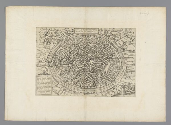
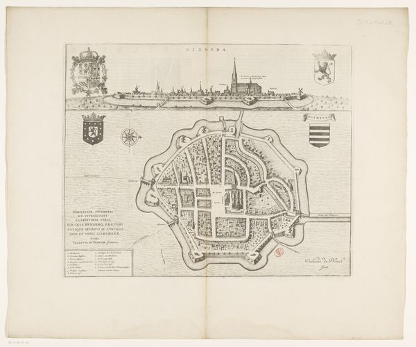
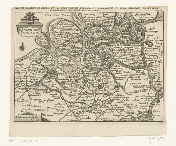
drawing, graphic-art, print, paper, ink, engraving
#
drawing
#
graphic-art
#
aged paper
#
baroque
# print
#
old engraving style
#
paper
#
ink
#
cityscape
#
engraving
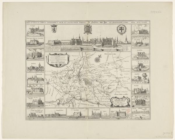
Dimensions: height 461 mm, width 557 mm
Copyright: Rijks Museum: Open Domain
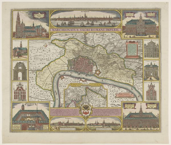
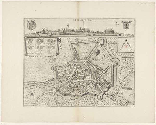
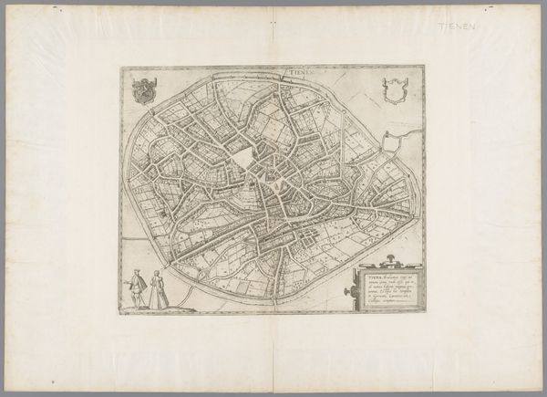
Claes Jansz. Visscher created this map of Antwerp and its surroundings using engraving techniques. The map intricately details the city's layout, enclosed by defensive structures, and is surrounded by vignettes of significant buildings. Visscher employs a strategic composition, framing the central map with smaller, detailed views, each rendered with a precise, almost architectural line. The consistent use of hatching and cross-hatching to denote depth and texture creates a cohesive visual language, unifying the diverse elements of the print. This formal approach, emphasizing clarity and order, aligns with the period's interest in structuring and understanding urban space. The city is presented not merely as a geographic entity but as a structured environment, reflecting humanist ideals of order and control over the natural world. Note the symbolic potential of the border images and imagine how they function within the political and cultural context of the time.
Comments
No comments
Be the first to comment and join the conversation on the ultimate creative platform.
More like this