print, paper, engraving
#
dutch-golden-age
# print
#
landscape
#
paper
#
coloured pencil
#
geometric
#
engraving
Dimensions: height 154 mm, width 228 mm
Copyright: Rijks Museum: Open Domain
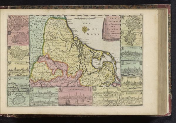
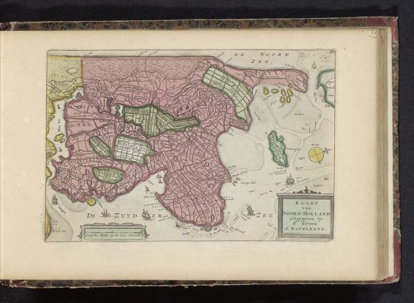
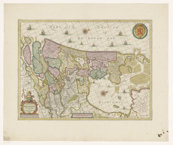
This "Kaart van Graafschap Holland" or "Map of the County of Holland" was made in the Netherlands by an anonymous artist. Mapping wasn't just about geographical accuracy; it was about power. Look at the way the county is divided up into distinct, color-coded territories. Each of those colors probably represents a different administrative region, or perhaps even the land holdings of different noble families. The mapmaker, whoever they were, was making a statement about the political landscape of Holland. The inclusion of heraldic symbols and sailing ships isn't just decorative. It signals Dutch mercantile power and its maritime identity. Understanding the full context of this map requires us to delve into Dutch archives, consult historical records of land ownership, and study the development of cartography as a tool of statecraft.
Comments
No comments
Be the first to comment and join the conversation on the ultimate creative platform.
More like this