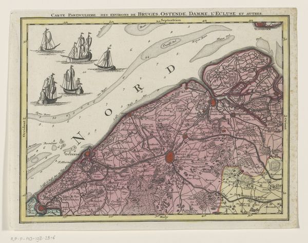
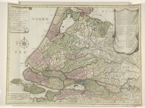
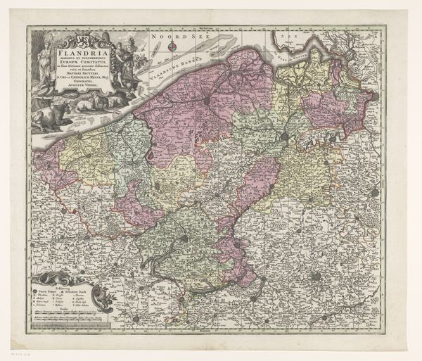
drawing, print, paper, engraving
#
drawing
#
dutch-golden-age
# print
#
landscape
#
paper
#
engraving
Dimensions: height 498 mm, width 591 mm
Copyright: Rijks Museum: Open Domain
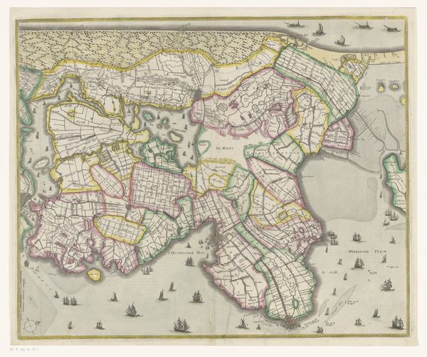
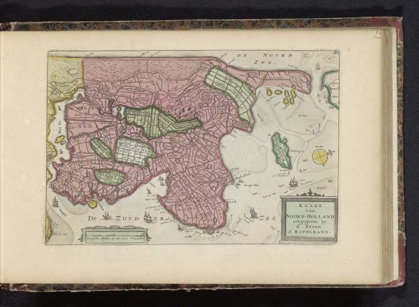
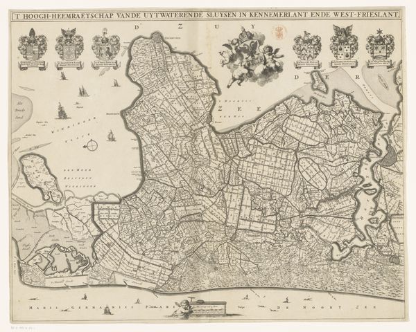
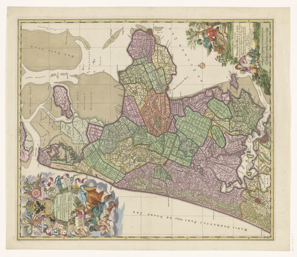
This is an anonymous, undated map of Noord-Holland and part of Friesland. Notice how the cartographer has meticulously depicted the coastal regions, paying close attention to the waterways and landmasses. Such detailed depictions of landscapes are not merely geographical exercises; they also mirror our evolving understanding of the world. The appearance of the compass rose is of particular interest here. Look at its multifaceted and star-like form: from antiquity onward, this figure has navigated not just seafarers but also philosophers and poets. In our collective consciousness, the compass rose serves as an enduring symbol of guidance and purpose, echoing through different times and places. Our human ambition to chart, navigate, and understand transcends time, as the creation and interpretation of maps taps into the human psyche. Through the ages, we have imbued the map with our deepest longings, anxieties, and hopes for mastering the unknown.
Comments
No comments
Be the first to comment and join the conversation on the ultimate creative platform.
More like this