drawing, print, etching, paper, ink
drawing
baroque
dutch-golden-age
etching
landscape
paper
ink
coloured pencil
genre-painting
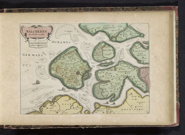
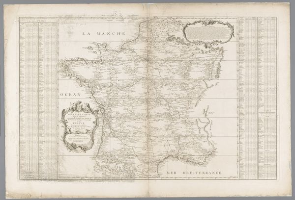
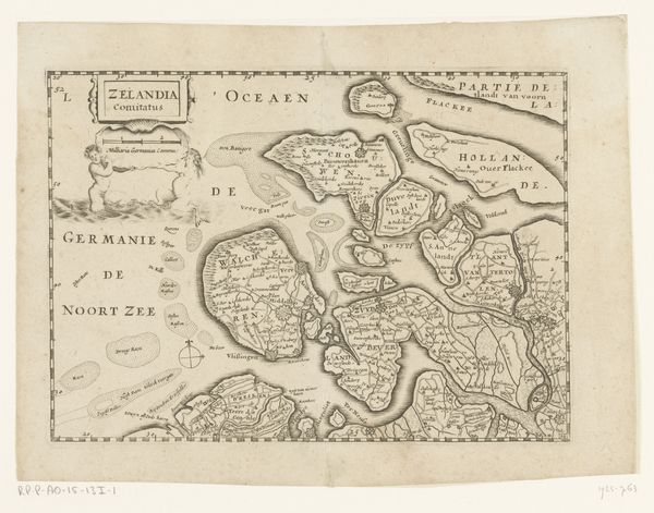
Dimensions: height 165 mm, width 234 mm
Copyright: Rijks Museum: Open Domain
This is an anonymous map of Zeeland, rendered with ink on paper. It depicts the province of Zeeland, in the southwestern part of the Netherlands. Looking at the image, it becomes clear that map-making is never a neutral science; it's intertwined with power. Consider, for instance, the highly decorative cartouche that identifies "Zelandia Comitatus", or the way the land is clearly demarcated, as if to emphasize ownership. This map was likely made during the Dutch Golden Age when the Netherlands became a major maritime power, and Zeeland played a crucial role in trade and naval power. The detailed geography emphasizes the region's importance, both economically and strategically. The creation and dissemination of maps like these were also facilitated by the growth of print culture. To truly understand this map, we'd need to delve into the archives—looking at trade records, naval history, and the biographies of influential figures from Zeeland. The map is a cultural artifact that reflects the complex interplay of geography, politics, and economics in shaping a nation's identity.
Comments
No comments
Be the first to comment and join the conversation on the ultimate creative platform.