drawing, print, paper, ink
#
drawing
#
baroque
# print
#
paper
#
ink
#
coloured pencil
#
geometric
#
cityscape
Dimensions: height 180 mm, width 264 mm
Copyright: Rijks Museum: Open Domain
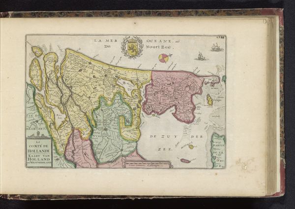
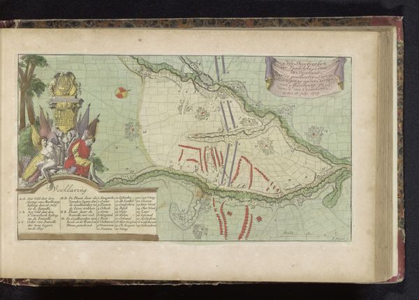
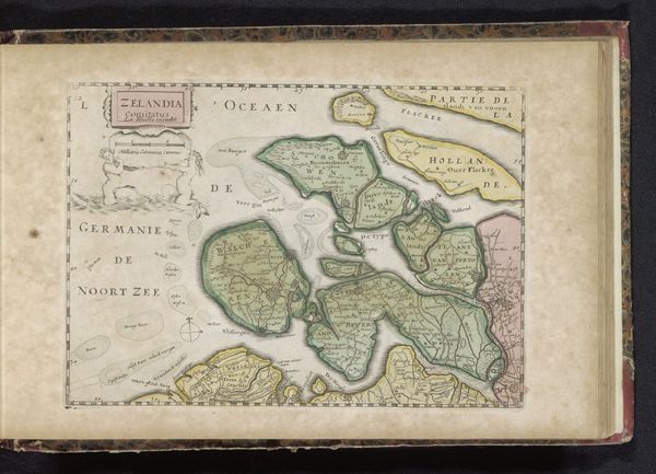
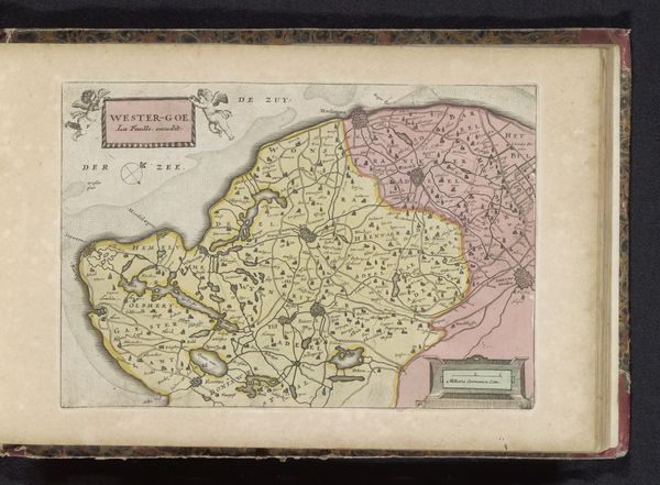
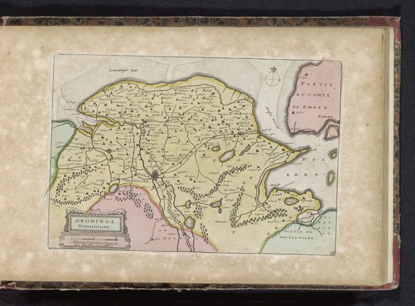
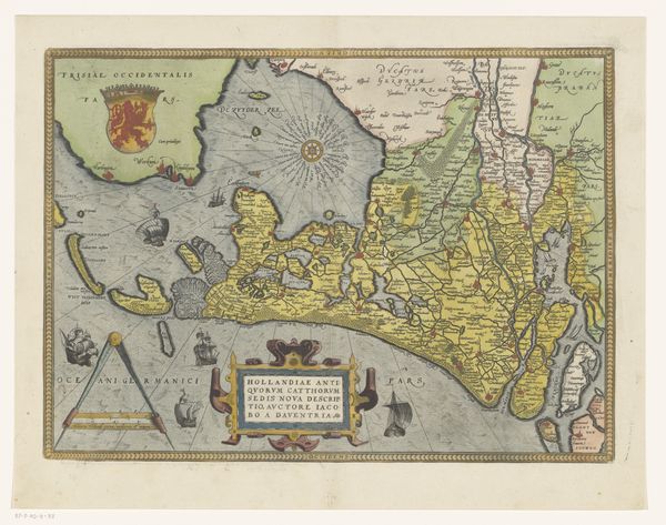
This map of the Netherlands, of unknown date and authorship, presents a fascinating glimpse into early cartography. Consider how maps such as this one not only charted geographical space, but also asserted political and cultural claims. Notice the detailed renderings of various cities and regions around the central map, each with its own distinct identity and significance. How might these depictions have shaped perceptions of regional differences and national unity? While the artist remains anonymous, the map speaks volumes about the priorities and perspectives of its time. The careful attention to detail and artistic embellishments suggest an investment in portraying the Netherlands as a cohesive and prosperous entity. What stories does this map tell, and whose voices might be missing from its narrative? Reflect on how historical maps can serve as both documents of record and expressions of cultural identity, inviting us to consider the power dynamics inherent in mapping practices.
Comments
No comments
Be the first to comment and join the conversation on the ultimate creative platform.
More like this