graphic-art, print, engraving
#
graphic-art
#
dutch-golden-age
# print
#
history-painting
#
academic-art
#
engraving
Dimensions: height 202 mm, width 165 mm
Copyright: Rijks Museum: Open Domain
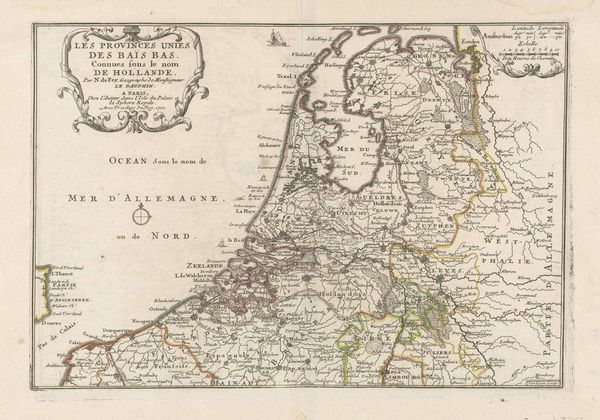
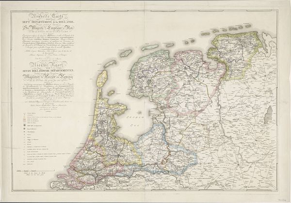
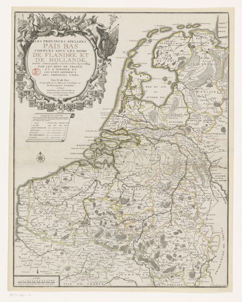
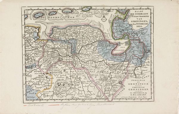
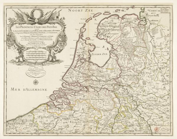
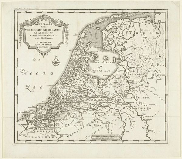
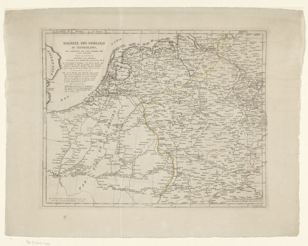
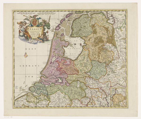
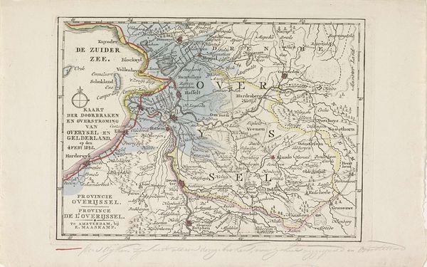
This is Daniël Veelwaard’s 1798 map of the Batavian Republic, made with etching and printed with watercolour. Note the map itself, a symbol of power and control, demarcating territory and asserting dominion over space. Maps can be seen as a form of visual rhetoric, employed to shape perceptions of the world. Even the coloring used to distinguish regions carries symbolic weight, evoking emotional responses and influencing the viewer's understanding of the political landscape. The use of color resonates across different periods of mapmaking, persisting as a visual language to convey spatial relationships. Consider how this urge to define and dominate space through cartography mirrors the psychological need to understand and control our environment. The very act of mapping can be seen as a manifestation of the human desire to impose order on the chaos of the world, engaging viewers on a subconscious level, stirring deep-seated feelings of belonging and identity. It is as if history cycles back, forever reshaping itself.
Comments
No comments
Be the first to comment and join the conversation on the ultimate creative platform.
More like this