drawing, print, paper, engraving
#
drawing
# print
#
paper
#
romanticism
#
cityscape
#
engraving
Dimensions: height 195 mm, width 290 mm
Copyright: Rijks Museum: Open Domain
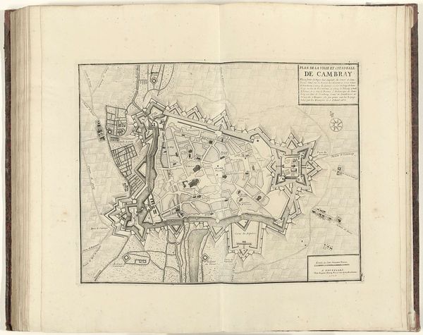
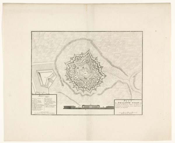
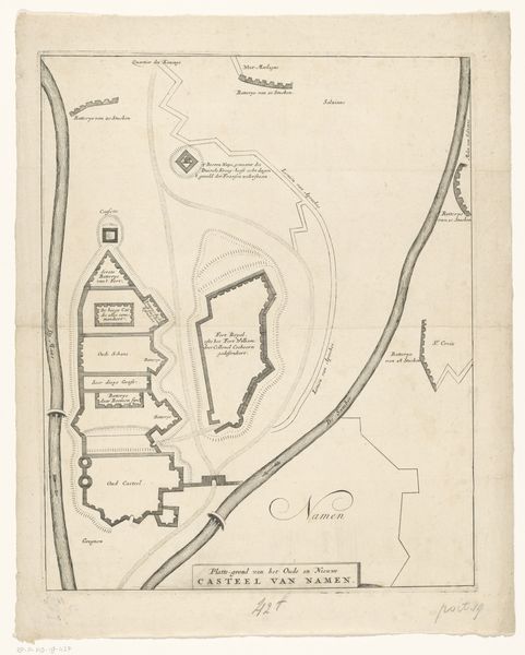
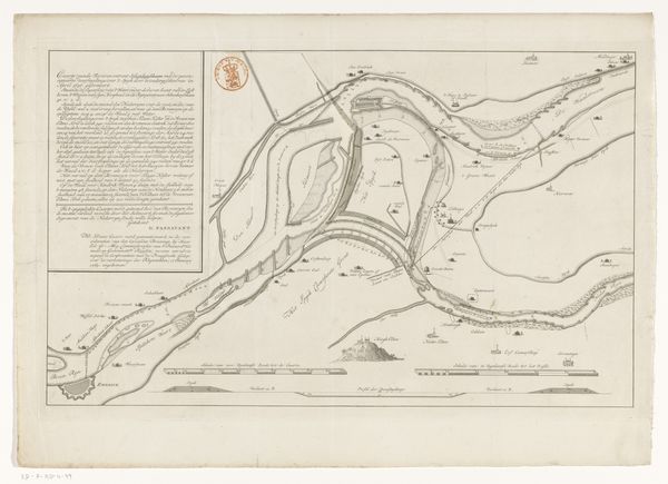
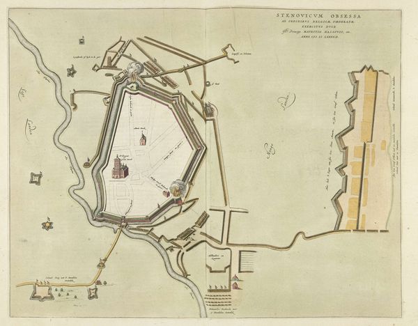
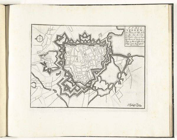
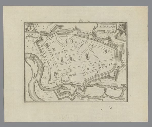
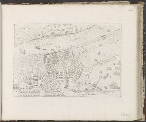
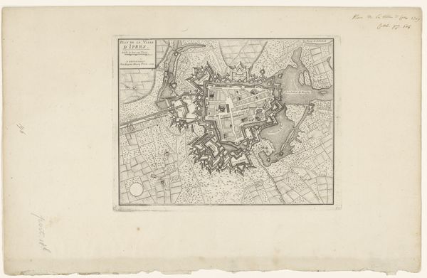
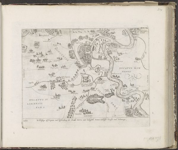
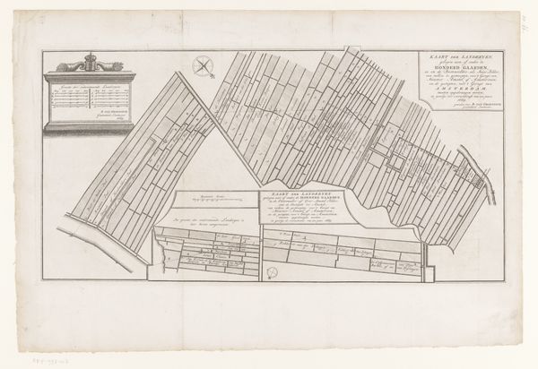
Frédéric Auguste La Guillermie made this map of Antwerp and its citadel in 1832. It is an engraving, a process in which an image is incised into a metal plate, which is then inked and printed. The choice of this method is significant, as it speaks to an era of mass production and distribution of knowledge. Look closely, and you'll notice the crisp lines and fine detail. These are the results of careful labor, but also a reflection of the industrial age in which the map was produced. The printing press allowed for the widespread dissemination of information, and the ability to accurately depict urban landscapes was invaluable for military, commercial, and administrative purposes. The use of engraving emphasizes the link between art, craft, and industry. Maps like this one were essential tools of empire, made possible by the skilled work of engravers, printers, and publishers. Considering the work's material and process, we realize that it’s not just a representation of Antwerp but also a product of broader historical and social forces.
Comments
No comments
Be the first to comment and join the conversation on the ultimate creative platform.
