drawing, print, ink, engraving
drawing
landscape
ink
northern-renaissance
engraving
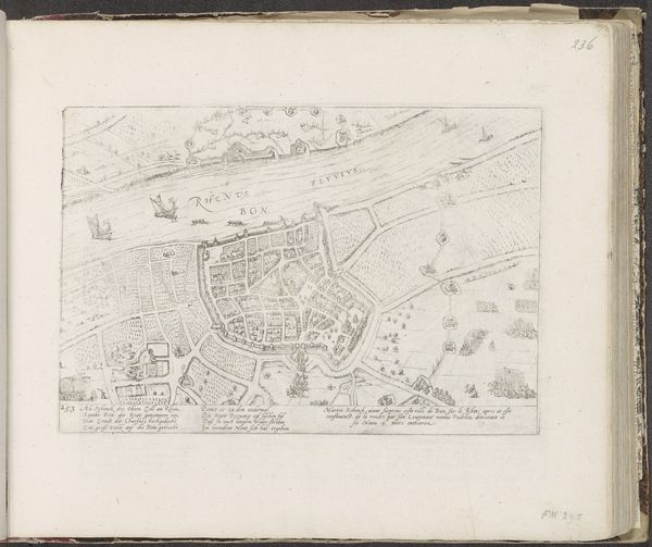
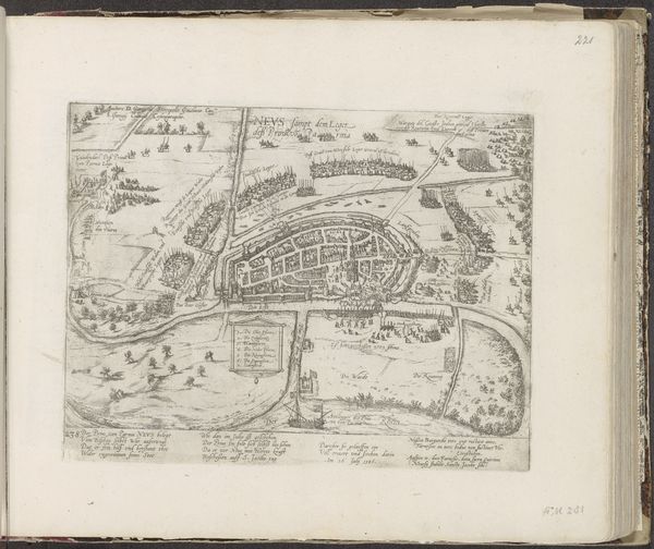
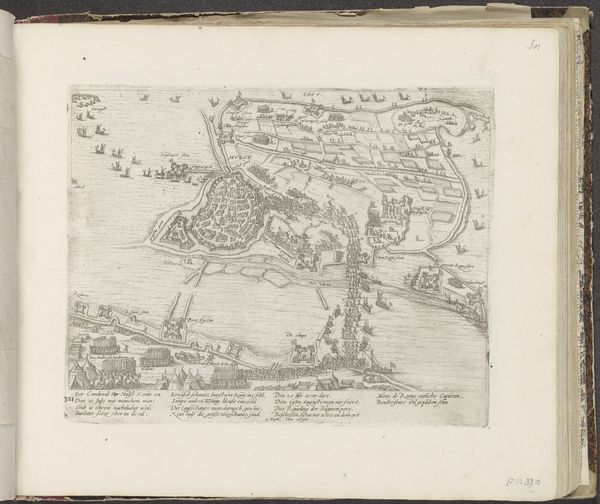
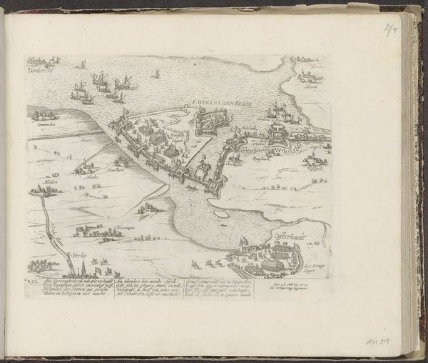
Dimensions: height 215 mm, width 278 mm
Copyright: Rijks Museum: Open Domain
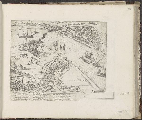
This is a map of Neuss and its surroundings, created in 1585 by Frans Hogenberg. The engraving presents a bird's-eye view, dominated by winding rivers and organized districts. The composition is structured around the linear elements of the waterways and the geometric precision of the city layout. The varying line weights delineate territories and topographical features. This creates a complex interplay between natural and man-made structures. Notice how the clustering of buildings and the strategic placement of landmarks create an implied hierarchy. The map functions as both a navigational tool and a symbolic representation of power. It reflects the 16th-century interest in understanding and controlling space. The detailed etching suggests a worldview that values order, clarity, and the assertion of human dominance over the landscape.
Comments
No comments
Be the first to comment and join the conversation on the ultimate creative platform.