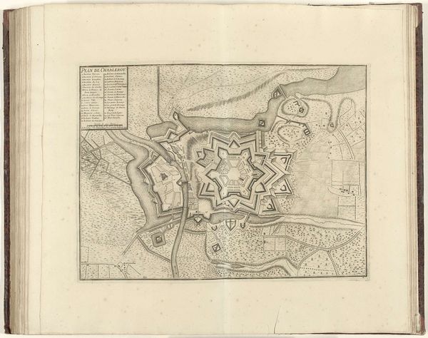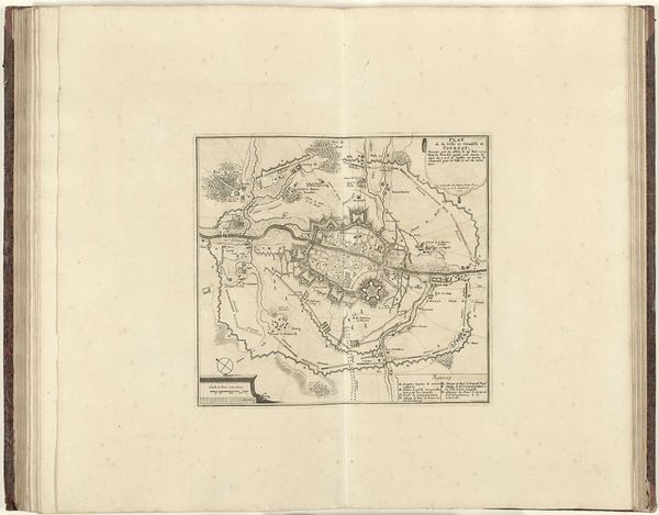
1693 - 1696
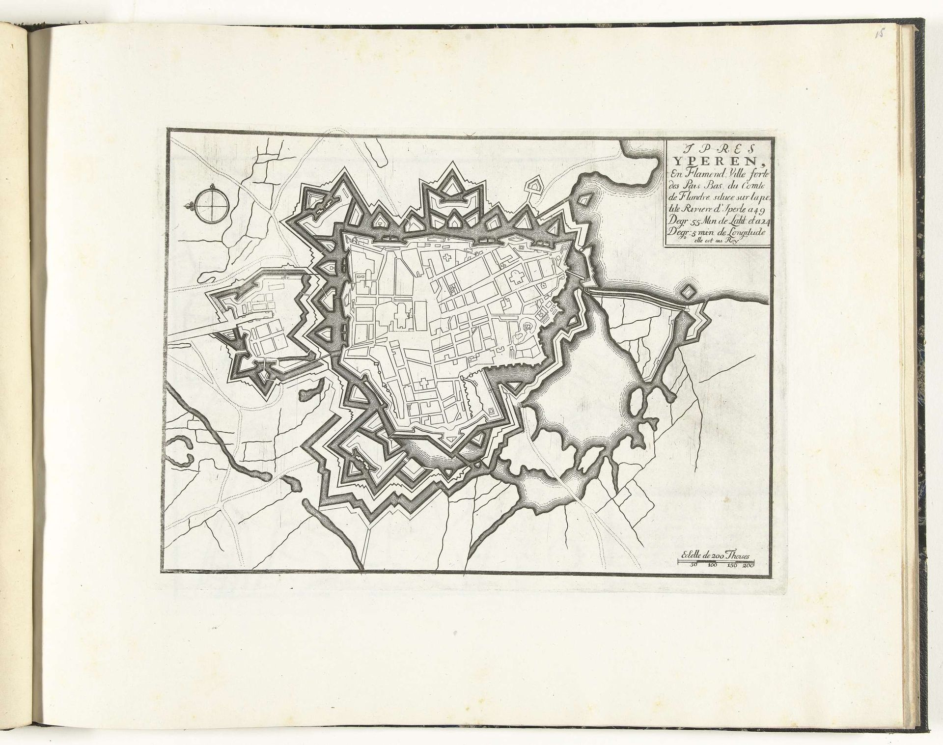
Plattegrond van Yperen, ca. 1693-1696
Anonymous
@anonymousLocation
RijksmuseumListen to curator's interpretation
Curatorial notes
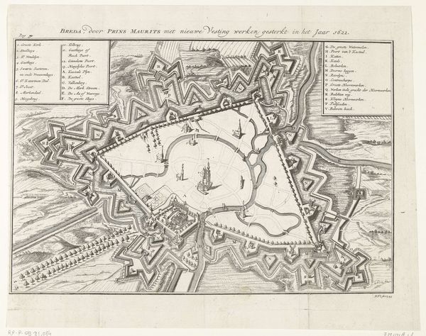
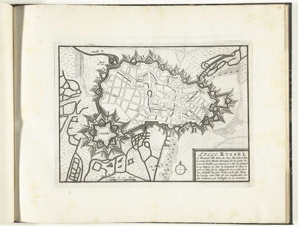
Around 1693-1696, an anonymous artist created this print titled "Plattegrond van Yperen." It is a detailed map of the city of Ypres, now in Belgium, offering a glimpse into its historical and cultural context during the late 17th century. Ypres, located in Flanders, endured many sieges. The star-shaped fortifications in the map reveal a society living in a state of near-constant military readiness. Looking at this map today, one can only imagine the anxiety of living in a city so directly shaped by the ever-present threat of war. This map presents more than just geographic data; it is a potent symbol of power, control, and the lived experiences of those within its walls. It serves as a reminder of the complex interplay between military strategy, urban development, and human lives in the early modern period.