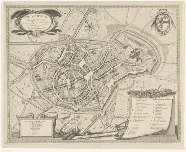
drawing, print, ink, engraving
#
drawing
# print
#
old engraving style
#
ink
#
geometric
#
cityscape
#
engraving
Dimensions: height 174 mm, width 218 mm
Copyright: Rijks Museum: Open Domain
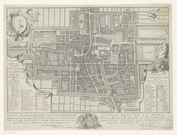
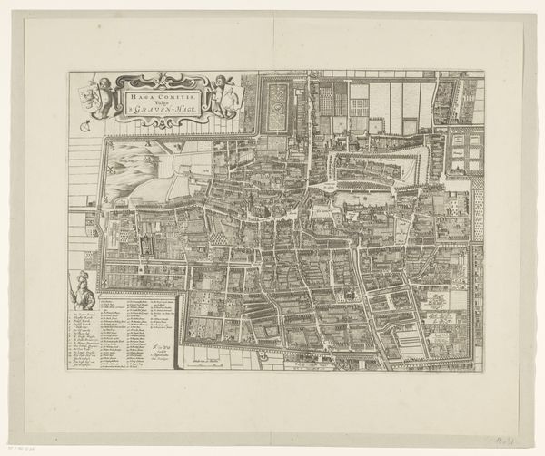
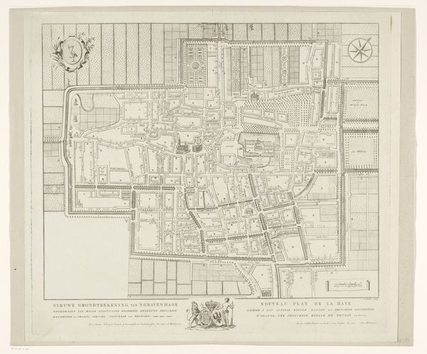
Curator: Let’s discuss this fascinating "Plattegrond van Den Haag," or Plan of The Hague, crafted by an anonymous hand sometime after 1745. It's an engraving, printed with ink on paper, currently held in the Rijksmuseum. Editor: My immediate impression is one of meticulous precision, the crisp lines of the engraving delineating the city's form with surprising clarity. It's quite a technical accomplishment! Curator: Indeed, the technical skill involved in the engraving is considerable. The image isn't just a representation, it's an argument about urban space itself. The city is ordered and legible, made into an object for contemplation and perhaps control. Consider how the grid structure predominates. Editor: That sense of control interests me, especially regarding the labor involved in the materials and printing process. The ink had to be prepared, the plate meticulously carved, and each print carefully produced, one after the other. The repetitive nature of printmaking as labor underscores how cities are constructed and the cumulative work in representing them. Curator: I agree. It suggests an aspiration to geometric ideals. Yet, that tension between the abstract grid and the organic flow of the city as it's lived – what do you make of that, considering our modern ideas of representation? Editor: Well, engravings were also instruments of power. By showing canals, plots of land, and districts, these types of visual representations were undoubtedly tied to property, taxation, and social regulation. Who would commission this piece? To what purpose? Curator: Precisely! This reminds us that maps aren't neutral documents. The medium, engraving, suggests the status and intent to order urban experience through the printed image, doesn't it? It certainly challenges simplistic ideas of mimesis in visual representation. Editor: Absolutely. When we understand the material conditions that produced this work, its value increases beyond a mere visual object—we learn so much about how cities evolved. Curator: Seeing "Plattegrond van Den Haag" today allows us to contemplate those earlier interpretations and perhaps form fresh approaches to urban planning in our modern era. Editor: Understanding both form and material unveils historical dynamics otherwise overlooked. It adds such enriching complexity.
Comments
No comments
Be the first to comment and join the conversation on the ultimate creative platform.
More like this