About this artwork
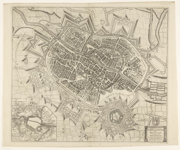
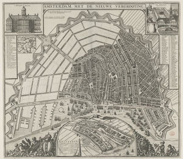
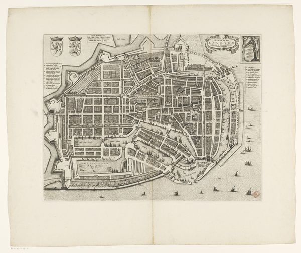
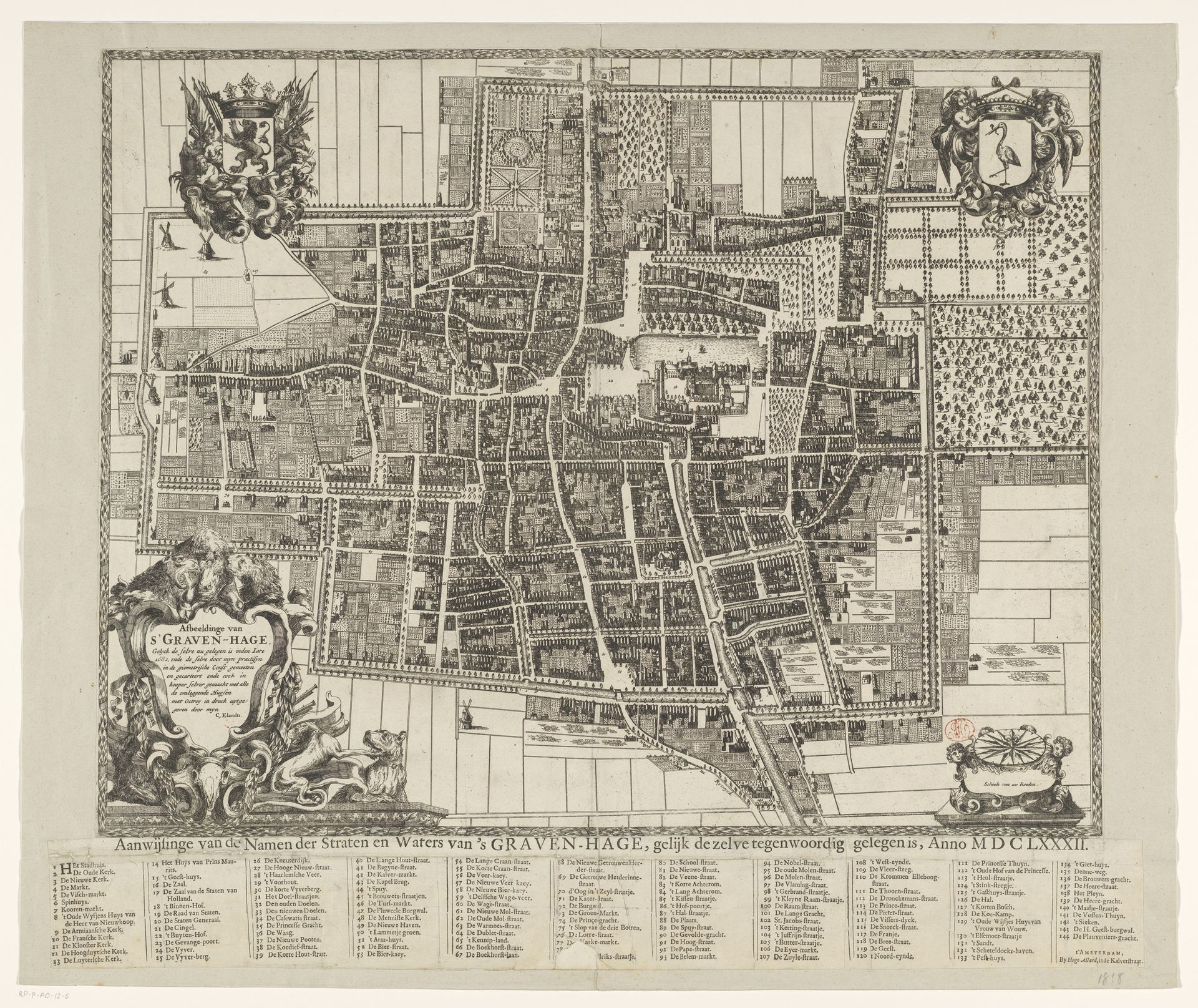
Here is the audio guide script: This is Cornelis Elandts' "Plattegrond van Den Haag," an engraving from 1682. The dominant visual experience of this map centers on the intricate web of lines and patterns depicting the city's layout. The formal composition reveals a structured organization, with distinct areas demarcated by walls and waterways. This detailed ordering creates a sense of control and comprehension. Elandts used a semiotic system of signs to represent urban space, reflecting the period's concern with rational planning. Through its rigorous structure, the map illustrates a specific way of thinking about space and power during the Dutch Golden Age. Each line, shape, and area functions as a signifier, contributing to an understanding of the city's social and economic structure. The clear, structured depiction invites us to consider how historical representations shape our perception of urban environments. The formal qualities of the "Plattegrond van Den Haag" underscore how art serves not only as an aesthetic object but also as an enduring artifact.
Artwork details
- Medium
- print, ink, engraving
- Dimensions
- height 448 mm, width 574 mm, height 75 mm, width 623 mm, height 549 mm, width 657 mm
- Copyright
- Rijks Museum: Open Domain
Tags
pen and ink
medieval
dutch-golden-age
old engraving style
ink
geometric
cityscape
engraving
Comments
No comments
About this artwork
Here is the audio guide script: This is Cornelis Elandts' "Plattegrond van Den Haag," an engraving from 1682. The dominant visual experience of this map centers on the intricate web of lines and patterns depicting the city's layout. The formal composition reveals a structured organization, with distinct areas demarcated by walls and waterways. This detailed ordering creates a sense of control and comprehension. Elandts used a semiotic system of signs to represent urban space, reflecting the period's concern with rational planning. Through its rigorous structure, the map illustrates a specific way of thinking about space and power during the Dutch Golden Age. Each line, shape, and area functions as a signifier, contributing to an understanding of the city's social and economic structure. The clear, structured depiction invites us to consider how historical representations shape our perception of urban environments. The formal qualities of the "Plattegrond van Den Haag" underscore how art serves not only as an aesthetic object but also as an enduring artifact.
Comments
No comments