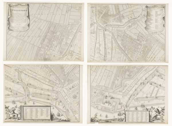
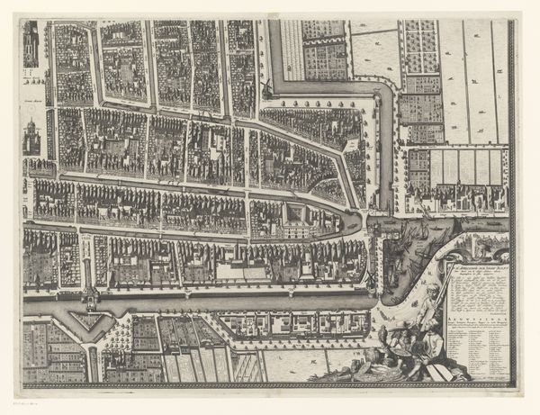
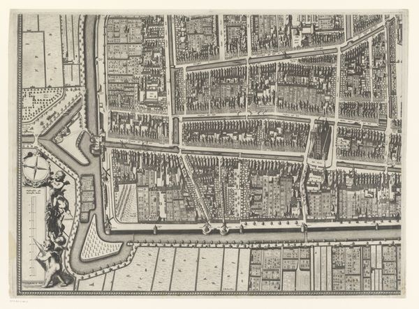
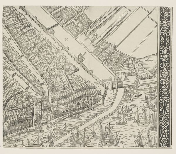
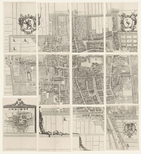
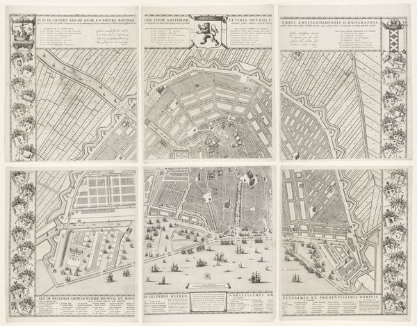
Plattegrond van de Kaart Figuratief van Delft, bestaande uit vier delen 1678 - 1752
0:00
0:00
johannesderam
Rijksmuseum
drawing, print, engraving
#
drawing
#
pen drawing
#
dutch-golden-age
# print
#
pen sketch
#
old engraving style
#
geometric
#
cityscape
#
engraving
Dimensions: height 835 mm, width 1265 mm
Copyright: Rijks Museum: Open Domain
Curator: Here we have a detailed cartographic representation: "Plattegrond van de Kaart Figuratief van Delft, bestaande uit vier delen," or, a plan of the Figurative Map of Delft, composed of four parts. Attributed to Johannes de Ram, its creation spanned from 1678 to 1752. Editor: Wow, that's... intensely geometrical. My first thought is how ordered everything is. It's like looking at a perfectly organized ant farm, but for people. Tiny boxes, little rivers flowing just so… I bet this makes urban planners drool. Curator: The artwork invites a meticulous deconstruction. Notice the intricate rendering of the urban fabric, revealing a sophisticated interplay between positive and negative space. Lines demarcate buildings, waterways, and land divisions, creating a compelling visual rhythm. Editor: Absolutely. There is an odd stillness, though. It reminds me of that moment just before the curtain rises—a potential about to explode into lived stories. I’m also getting a faint smell of ink, or maybe old paper? Art has that effect on me; sensory hallucinations. Curator: From a formal perspective, the engraving presents a study in controlled chaos. The artist balances the precision necessary for accurate representation with an almost lyrical quality in the ornamental flourishes, particularly within the cartouches and heraldic devices. Editor: Heraldic devices! Like a medieval Instagram filter. And you are right, the balance feels so intentional. Look at how the water motifs wind throughout each quadrant. You almost start feeling that flow. Like the city has its own circulatory system, which is so neat considering it probably literally did at that point in time. Curator: The artwork achieves a rare synthesis. It transcends pure utility, achieving an elevated aesthetic status due to its detailed formal composition. This map presents not only Delft as it was, but offers us a carefully considered construct representing Delft’s perception of itself. Editor: Okay, Delft as conceptual art—I love that. Seeing the past through a structured and planned rendering like this helps see not just the buildings, but the philosophy of that society, the how and why behind how it’s designed. A little window into collective aspirations, maybe? Curator: Precisely. Thank you for drawing attention to this artwork with me today, Editor: My pleasure. I shall go contemplate my own city-grid inspired compositions.
Comments
No comments
Be the first to comment and join the conversation on the ultimate creative platform.
More like this