drawing, print, ink, pencil, engraving
#
drawing
#
aged paper
#
light pencil work
#
quirky sketch
# print
#
sketch book
#
landscape
#
personal sketchbook
#
ink
#
idea generation sketch
#
sketchwork
#
geometric
#
pencil
#
sketchbook drawing
#
history-painting
#
storyboard and sketchbook work
#
academic-art
#
sketchbook art
#
engraving
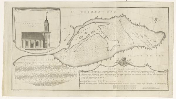
Dimensions: height 421 mm, width 574 mm
Copyright: Rijks Museum: Open Domain
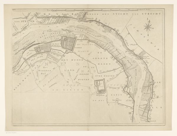
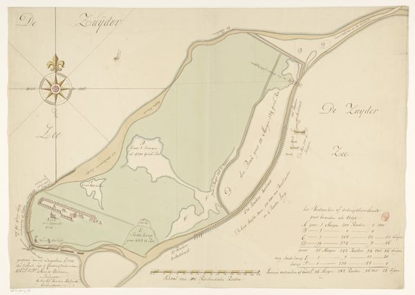
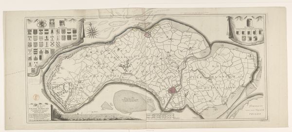
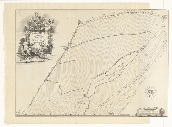
Editor: Here we have "Verovering van Banda door de Engelsen op 9 augustus 1810," a drawing, likely from 1811, showing the Banda Islands. It gives me a cold feeling; I’m thinking about colonial history. How should we interpret a work like this today? Curator: It's a chilling piece when considered through a postcolonial lens, isn’t it? What appears to be a technical drawing of the landscape is also a potent symbol of power dynamics and violent dispossession. The clean lines and objective presentation almost sanitize the act of conquest. Editor: Sanitizing…yes, it’s like turning a brutal event into a tidy bit of data. Curator: Exactly. The meticulous detail in mapping the land and fortifications contrasts sharply with the human cost of the event, namely the Banda Massacre of 1621 in which the indigenous population was brutally murdered by Dutch forces in their pursuit to monopolize nutmeg production, after which the English invaded the defenseless population, a mere footnote in a legacy of terror. Consider the relationship between cartography and control. How does mapping serve the purposes of domination? Editor: I never thought about maps as instruments of power before. The island becomes an object, something to be possessed. Curator: Precisely. It’s also important to acknowledge the positionality of the artist, M. Graham. Whose perspective is prioritized here? How does this influence our understanding of the events depicted? Editor: Probably someone within the English forces... so the narrative would reflect their victory, and completely gloss over any ethical considerations of invasion and massacre. Curator: Absolutely. Reflecting on this piece pushes us to interrogate how historical narratives are constructed and whose voices are amplified or silenced in the process. It's a lesson in being critically aware of seemingly neutral representations of the past. Editor: I’ll never look at a map the same way again! This has changed my entire perception.
Comments
No comments
Be the first to comment and join the conversation on the ultimate creative platform.

