graphic-art, print, paper, engraving
#
graphic-art
#
aged paper
#
naturalistic pattern
#
toned paper
#
baroque
# print
#
old engraving style
#
landscape
#
paper
#
tea stained
#
pen work
#
watercolour illustration
#
engraving
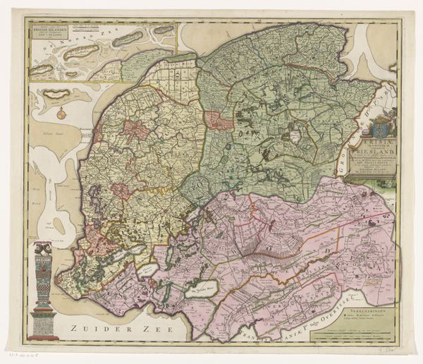
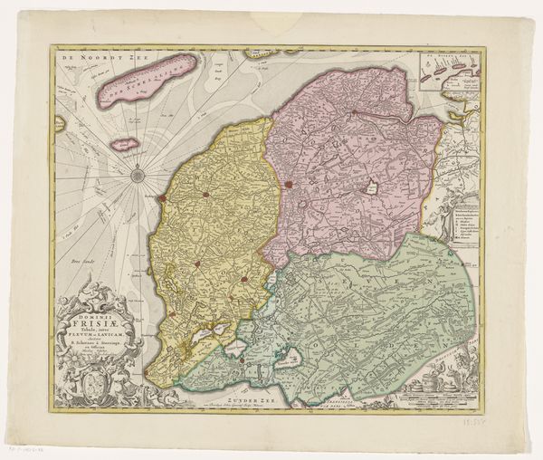
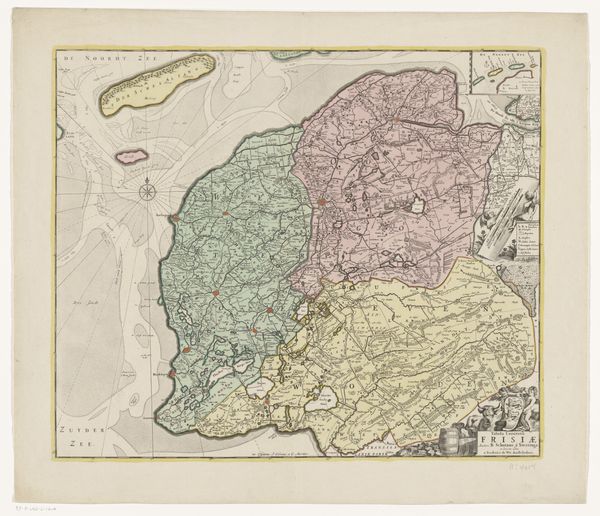
Dimensions: height 522 mm, width 604 mm
Copyright: Rijks Museum: Open Domain
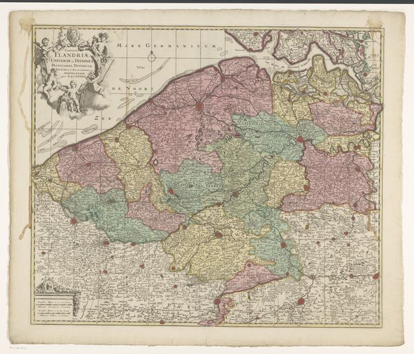
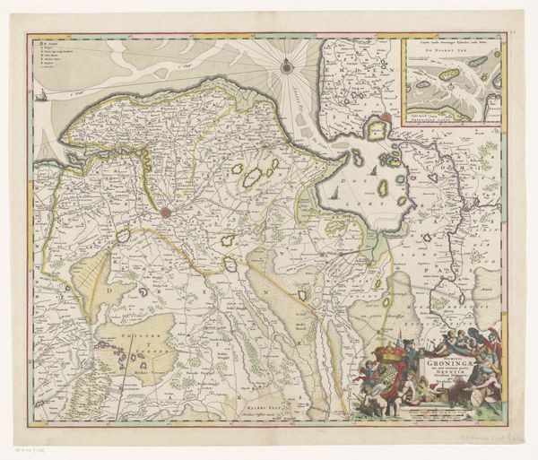
This is an anonymous map of Friesland from an unknown date, but it’s rich with stories about identity, power, and place. Consider what it means to map a territory: it’s an act of claiming, naming, and defining space through a specific lens. In a region like Friesland, with its unique cultural identity and language distinct from the rest of the Netherlands, a map becomes more than just a geographical tool. It’s a statement of cultural presence. The detailed rendering of towns, waterways, and landscapes speaks to the economic and strategic interests of those who commissioned its creation. The map would have helped consolidate power but for those who lived there it was also a depiction of their home. Think about the emotional weight of seeing your village or farm represented on a map created by outsiders; it’s a blend of pride, recognition, and perhaps a hint of vulnerability. In viewing this map, we contemplate how Friesland has been perceived, represented, and ultimately, understood, by both its inhabitants and the external forces that have sought to define it.
Comments
No comments
Be the first to comment and join the conversation on the ultimate creative platform.
More like this