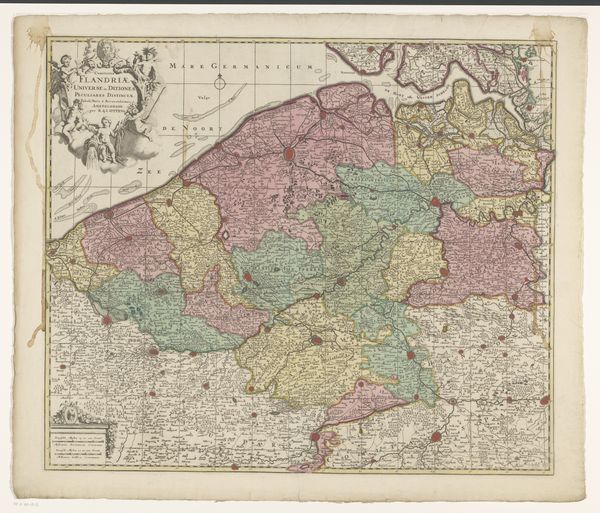
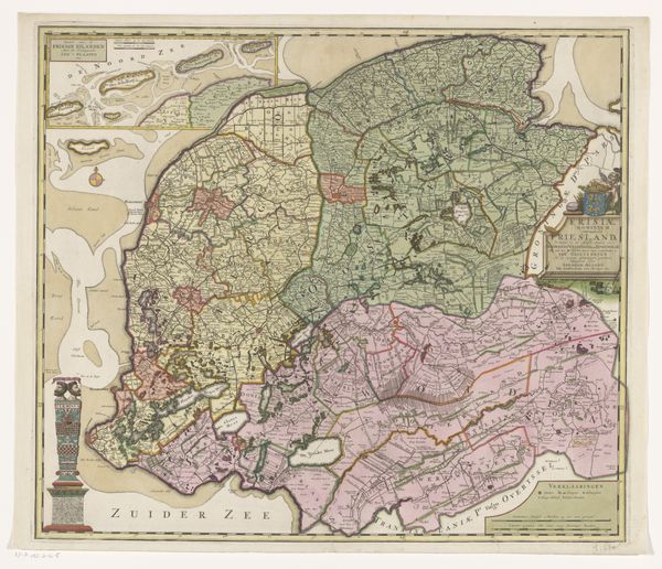
graphic-art, print, etching
#
graphic-art
#
dutch-golden-age
# print
#
etching
#
landscape
#
etching
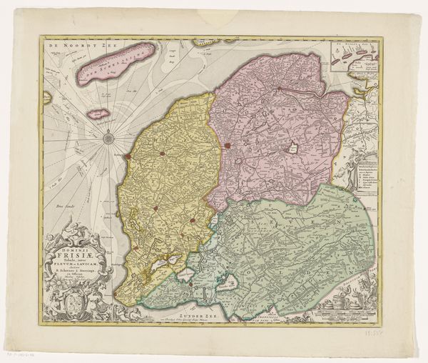
Dimensions: height 472 mm, width 563 mm
Copyright: Rijks Museum: Open Domain
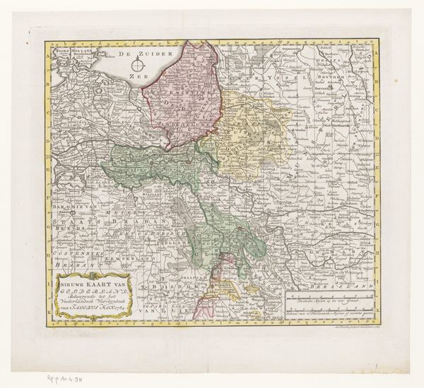
This is an anonymous map of Friesland, its origins lie in the intent to chart and understand territory, a recurring motif in human history. Notice the compass rose at sea, a symbol of orientation and destiny. It echoes the celestial maps of antiquity, where stars guided not just navigation, but also fate. The wind direction pointers reminds me of similar directional tools in ancient Roman art, intended to orient the viewer and impart a sense of control over the unknown. The act of mapping itself is laden with psychological weight, a desire to impose order on chaos, to define and control. This impulse has driven explorers and artists alike, from the cave painters charting their world to the Renaissance masters mapping the human form. This psychological impulse is, in essence, a symbolic attempt to contain and master one's environment, both physically and mentally. It's a recurring human drama, acted out across time and space.
Comments
No comments
Be the first to comment and join the conversation on the ultimate creative platform.
More like this