print, engraving
#
dutch-golden-age
# print
#
old engraving style
#
landscape
#
geometric
#
engraving
Dimensions: height 369 mm, width 464 mm
Copyright: Rijks Museum: Open Domain
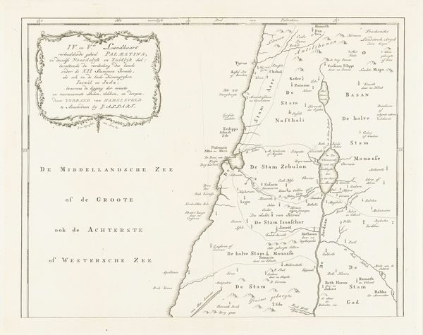
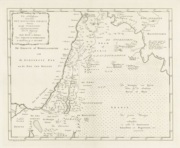
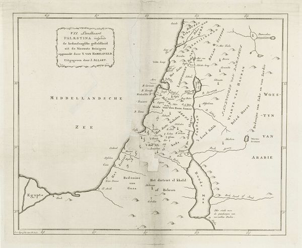
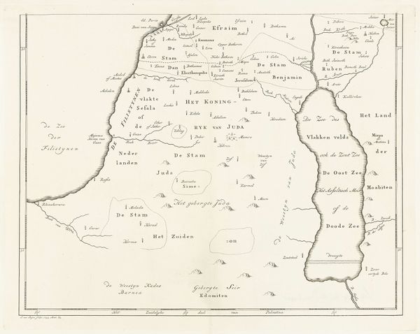
Jan van Jagen produced this map of Palestine sometime in the 18th century. During this period, European cartography wasn't just about geographical accuracy, it was an assertion of power, deeply entwined with colonial ambitions and religious narratives. Consider how the map presents Palestine, now Israel, through a distinctly European lens, shaping perceptions and reinforcing a sense of ownership. The act of mapping itself is a powerful gesture, defining territories and legitimizing claims, which in turn has very real implications for the people living there. Who gets to tell the story, whose perspectives are centered, and whose are marginalized? Think about the emotional weight of such representations, especially for those whose identities and histories are directly affected. This map serves as a reminder of how deeply intertwined knowledge, power, and identity truly are.
Comments
No comments
Be the first to comment and join the conversation on the ultimate creative platform.
More like this