drawing, print, ink, engraving
#
pen and ink
#
drawing
# print
#
old engraving style
#
hand drawn type
#
ink
#
geometric
#
history-painting
#
academic-art
#
engraving
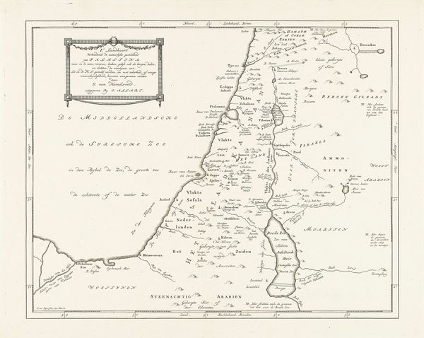
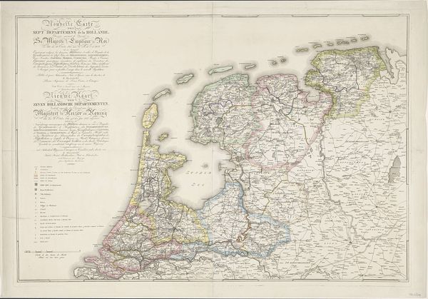
Dimensions: height 356 mm, width 449 mm
Copyright: Rijks Museum: Open Domain
This is Jan van Jagen’s “Kaart van Palestina,” a map etched during the 18th century, a period marked by European expansion and exploration. Maps like these were not just geographical tools; they were powerful instruments used to stake claims and solidify narratives about land and its people. Van Jagen's map, viewed through a contemporary lens, reveals how cartography can reinforce colonial perspectives by favoring certain cultural and political interpretations. The map presents a very specific division of the land, which raises questions about whose interests are being served and whose histories are being erased. It's important to consider how maps participate in the construction of identity and power, influencing not only how we see the world, but also how we interact with it. Reflecting on this map, we might ask: Whose stories are told, and whose are omitted, in its depiction of Palestine? How does this historical artifact continue to shape our understanding of this region today?
Comments
No comments
Be the first to comment and join the conversation on the ultimate creative platform.
More like this