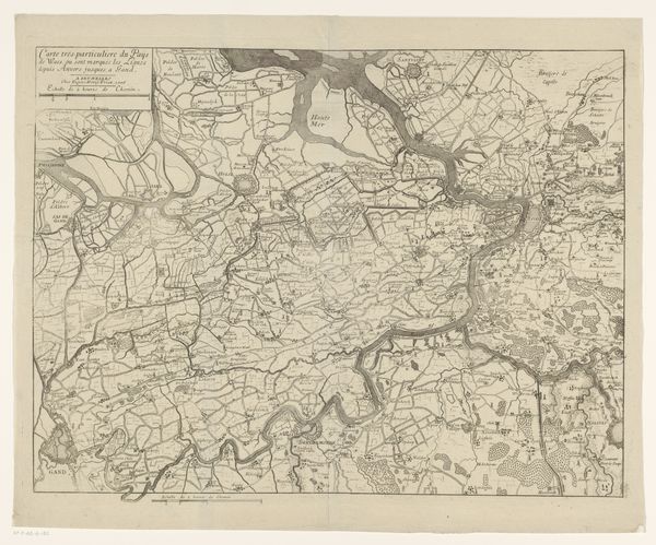
print, engraving
#
dutch-golden-age
# print
#
geometric
#
engraving
Dimensions: height 555 mm, width 439 mm
Copyright: Rijks Museum: Open Domain
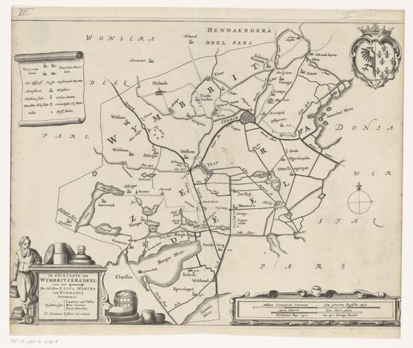
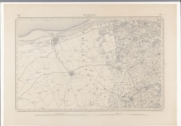
Curator: Looking at this intricate map, titled "Kaart van de grietenij Doniawerstal," created sometime between 1698 and 1718, I’m immediately drawn to how it merges the practical with the allegorical. The cartography itself is incredibly precise. Editor: You know, my first thought isn't about practicality—it's about dreams. It's as though someone dared to capture a landscape, not just in lines and distances, but also in the emotions and hopes it inspired. It reminds me a little bit of an elaborate stage design! Curator: It’s intriguing that you perceive a sense of theatrics. Observe how the upper-left cartouche is adorned with cherubs; such decorative elements were often incorporated into maps of this era, especially during the Dutch Golden Age. These weren’t just geographic tools; they were symbols of dominion, knowledge, and even prosperity. Editor: Dominion, yes! It feels almost celebratory. And look, to the right, a complete cornucopia. So, what we have are angles representing true boundary lines but also flourishes – the kind of hopeful visions for its lands. But what about the symbolism—anything leap out? Curator: The inclusion of figures associated with abundance and triumph is typical of Dutch cartography, projecting confidence and perhaps an idealized vision of governance and fertility over this particular region. Also notice how the geometrical shapes delineate territories not simply with utility, but artistry; the borders are hard but feel deliberately composed for balance, both actually and symbolically. Editor: This really blurs lines for me. On one hand, we have calculated measurements; on the other, emotional interpretations that were equally etched into how folks understood place. Is it meant to reveal territory, or does it use territory to suggest deeper notions of territory: power, cultural wealth, aspiration? It makes the map quite loaded. Curator: Maps are indeed vessels of cultural values and political ambitions, encoding far more than just spatial data. The artistic choices serve to elevate the grittiness of land ownership, power structures and agriculture. Editor: Thinking about that careful blending, what seemed documentary now speaks volumes about collective aspirations that continue. These prints hold memory.
Comments
No comments
Be the first to comment and join the conversation on the ultimate creative platform.
More like this