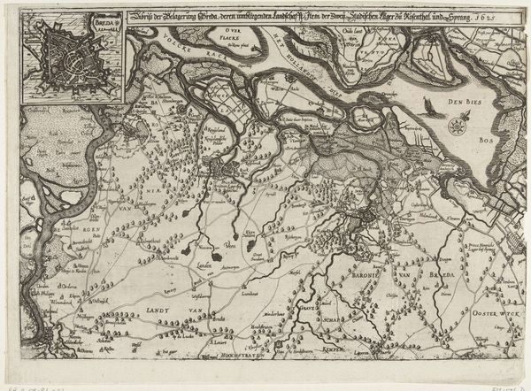
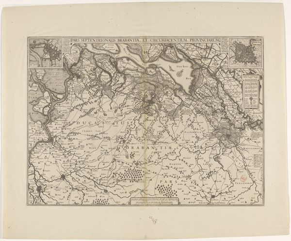
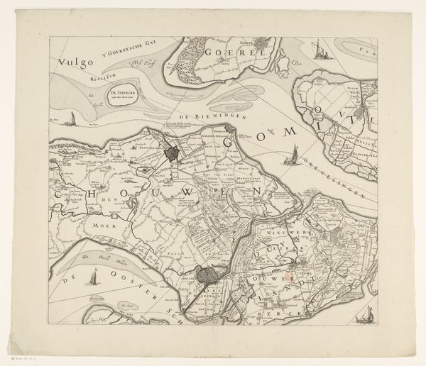
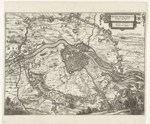
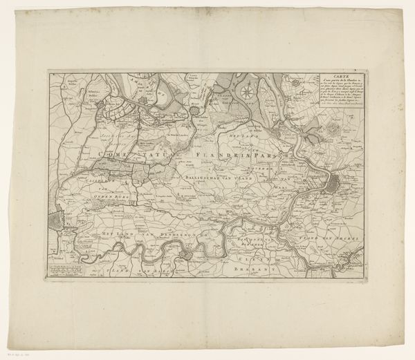
Kaart van de eilanden Noord-Beveland, Wolphaartsdijk en Zuid-Beveland en het markiezaat Bergen op Zoom 1655 - 1725
0:00
0:00
anonymous
Rijksmuseum
drawing, print, paper, ink, engraving
#
drawing
#
pen drawing
#
dutch-golden-age
# print
#
pen sketch
#
landscape
#
paper
#
personal sketchbook
#
ink
#
sketchwork
#
ink drawing experimentation
#
geometric
#
pen-ink sketch
#
pen work
#
sketchbook drawing
#
cityscape
#
sketchbook art
#
engraving
#
doodle art
Dimensions: height 473 mm, width 1145 mm
Copyright: Rijks Museum: Open Domain
Editor: So, here we have what is described as a map of the islands Noord-Beveland, Wolphaartsdijk and Zuid-Beveland and the Marquisate Bergen op Zoom, created sometime between 1655 and 1725 by an anonymous artist. It's rendered in ink on paper, with engravings that look incredibly detailed. I'm immediately struck by how this blends artistry with cartography. What's your read on this from an artistic standpoint? Curator: Well, you know, looking at this map, I see a beautiful tension between the practical and the poetic. Someone needed to survey and record these lands accurately, absolutely, but they did so with such clear artistry! It reminds me a little of how we try to map our own lives, drawing lines between where we've been and where we think we’re going. Do you see the almost whimsical quality of the coastlines, like lace on the edge of the world? Editor: I do! It’s not just functional, is it? It’s…decorative almost, in a really restrained way. Curator: Exactly! It’s function flirting with fantasy! Look closely at how the bodies of water are depicted. They’re not just blank spaces; they possess character and depth, evoking mood, just like how a painter uses shading. Now, think about what it meant to define space during that era...What kind of power did such mapping represent? Editor: I guess... the power to claim territory, maybe? Curator: Precisely! But it’s also the power to imagine the world and your place within it. Don't you find a quiet longing in its intricate detail, almost like yearning for something beyond the known horizon? Editor: That's such a romantic way to look at a map! I had thought of it more in terms of practicality, but seeing it as an expression of longing, or a form of personal art, really changes everything. Curator: Sometimes the most seemingly objective documents, the driest of lines, can reveal our deepest longings and perceptions, can't they?
Comments
No comments
Be the first to comment and join the conversation on the ultimate creative platform.
More like this