graphic-art, print, paper, engraving
graphic-art
baroque
landscape
paper
engraving
Dimensions: height 407 mm, width 459 mm
Copyright: Rijks Museum: Open Domain
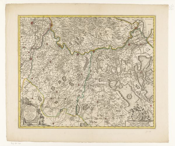
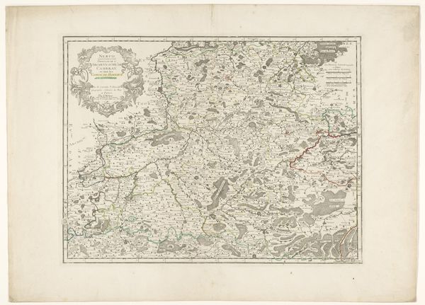
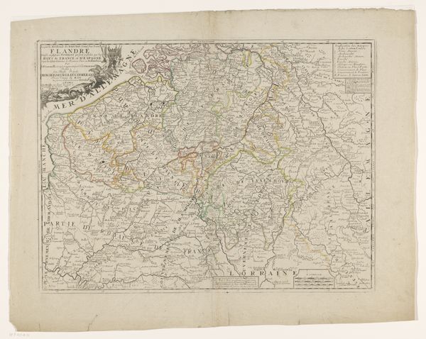
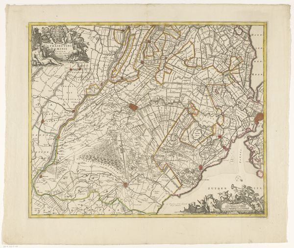
This ‘Kaart van het graafschap Namen’ or map of the county of Namur, was made anonymously and printed on paper. It would have been produced through a method known as copperplate engraving. The creation of this print involved highly skilled labor. First, the design would have been carefully incised into a copper plate. Ink was then applied, and the surface wiped clean, leaving ink only in the engraved lines. Dampened paper was then pressed against the plate, transferring the image. Finally, watercolor would have been added by hand to delineate borders and add detail. The precision and detail achieved through this printmaking process allowed for the mass production and distribution of information. Maps like this one were not simply cartographic tools, but also objects of social and political power, used to define territories, project authority, and facilitate trade. The craft of mapmaking thus intersects with broader histories of exploration, colonization, and the rise of the modern state. Understanding the materials, tools and processes used in its production, reveals its wider social significance.
Comments
No comments
Be the first to comment and join the conversation on the ultimate creative platform.