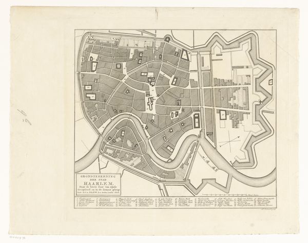
drawing, mixed-media, print, paper
drawing
mixed-media
architectural plan
paper
cityscape
botanical art
Dimensions: height 235 mm, width 182 mm
Copyright: Rijks Museum: Open Domain
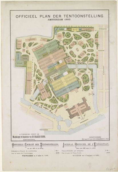
Curator: This mixed-media drawing on paper presents a “Plattegrond van de Wereldtentoonstelling in Amsterdam, 1883," mapping the grounds of the World’s Fair. Editor: It’s charming! Almost dreamlike, really. The pastels give it an airy feel, like a garden fading into memory. Curator: Notice how each country has its own pavilion, distinctly labeled. Japan, Frankrijk (France), England, China. The fair served as a microcosm of global exchange. I'm curious about the symbols embedded within this seemingly objective representation. What ideologies are literally mapped out here? Editor: The organization itself tells a story, doesn't it? With European nations so centrally placed, the visual hierarchy implicitly reinforced existing power dynamics of the time. And look, the "Schoone Kunsten" section gets prime real estate, underlining the supposed value placed on the Western concept of fine art. It's not a neutral plan; it's a statement. Curator: I find myself drawn to the circular forms nestled within, representing various entertainment features—the "Muziek" pavilion and "Volks-Restaurant." How interesting that the map also includes those symbols of enjoyment and pleasure! Perhaps they're a subtle reminder of the utopian dreams of global unity at the heart of the exhibition. Editor: Dreams built on inequitable realities, unfortunately. But maps like this allow us to literally chart the history of colonialism and power relations that continue to influence today’s cultural landscape. Even the botanical art feel carries echoes of colonial exploitation and control. Curator: You've given me new ways to consider how this drawing functions as more than just a document; it also preserves the complex ambitions and ideologies embedded within this singular cultural event. Editor: And I’ve thought more deeply about how even a simple-seeming cartographic drawing on paper, can show the invisible structures underpinning history. Thanks for helping to illuminate all these points, Curator!
Comments
No comments
Be the first to comment and join the conversation on the ultimate creative platform.