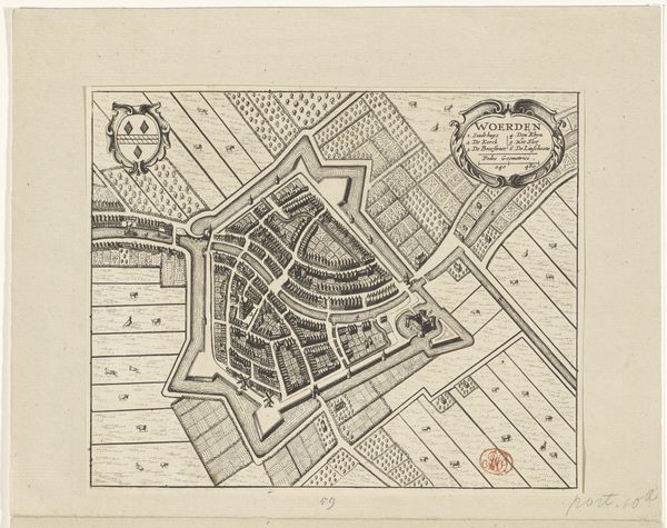
print, etching
#
dutch-golden-age
# print
#
etching
#
landscape
#
etching
#
cityscape
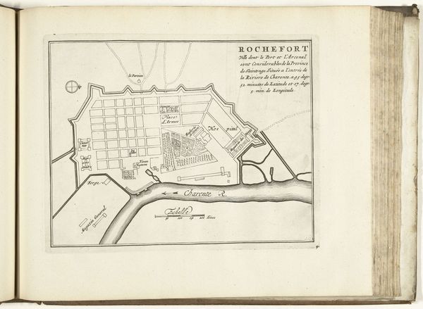
Dimensions: height 346 mm, width 380 mm
Copyright: Rijks Museum: Open Domain
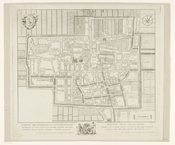
Curator: This delicately rendered etching presents us with "Plattegrond van Haarlem," a map of Haarlem created in 1808 by Daniël (I) Veelwaard, found at the Rijksmuseum. It is a cityscape presented with incredible detail, allowing one to examine Haarlem through the eyes of its past. Editor: There's something almost ghostly about it. The cool, neutral tones combined with such sharp lines – it’s as if the city has been frozen in a moment, pinned down under a microscope for scrutiny. You notice how everything fits into a kind of calculated structure? Curator: Absolutely. Notice the city's defensive walls transforming into the clean lines of an urban plan. Those shapes reveal how critical infrastructure influenced civic identity and collective self-defense strategies within the space, reflecting anxieties and ambitions around maintaining boundaries and stability during periods that saw much wider political shifts across Europe. Editor: The walls form a beautiful shape, almost flower-like, if flowers were forged of iron and strategy. The rivers and canals snake their way through it, adding contrast between natural form and geometric design, like an organized flow through the heart of what, otherwise, reads to me almost as chaos. Curator: But even the flowing lines can hold profound cultural significance, remember. Waterways like this served as trade routes, as well as defensive moats. Even the bridges themselves – consider them not just as functional connections but symbols bridging communities within. Each etched line carries a layer of human interaction, of negotiation. The cityscape, a story in visual form. Editor: True enough, but what about this visual narrative is specific? Even without prior historical information, the aesthetic composition—especially the play of angular edges—strongly evokes the feeling of eighteenth-century neoclassicism to me. There’s that Enlightenment drive to classify and arrange, applied directly to the world around them, made explicit on the page in a diagram. Curator: Indeed, what a treasure for unlocking narratives held within Dutch collective consciousness through these etched symbols of landscape. Editor: Quite so. Analyzing the physical layout with semiotic awareness, one understands how that influences meaning.
Comments
No comments
Be the first to comment and join the conversation on the ultimate creative platform.
More like this