print, photography, engraving
# print
#
etching
#
photography
#
cityscape
#
engraving
#
realism
Dimensions: height 663 mm, width 478 mm
Copyright: Rijks Museum: Open Domain
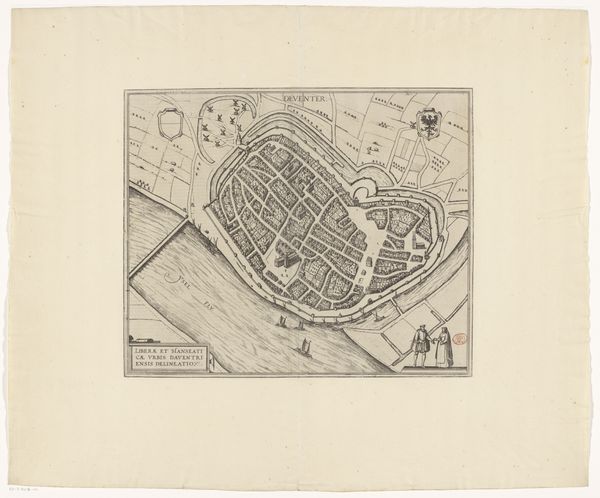
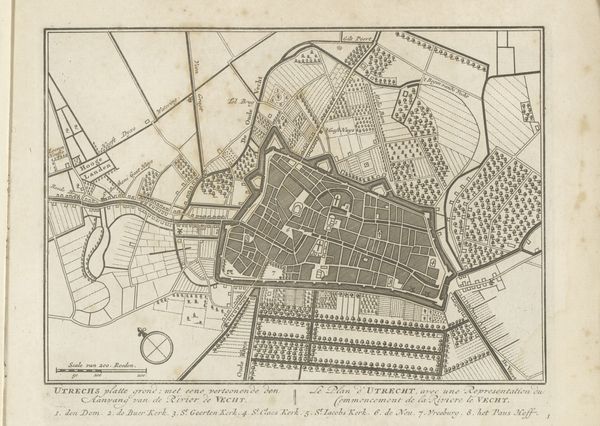
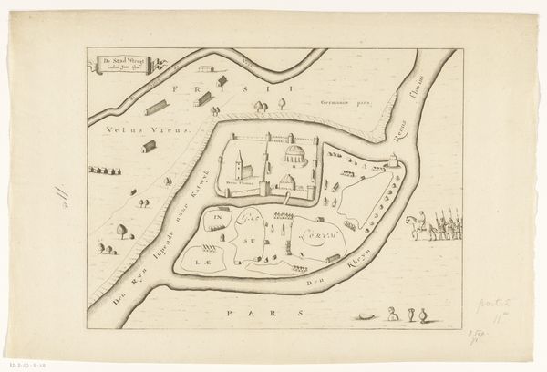
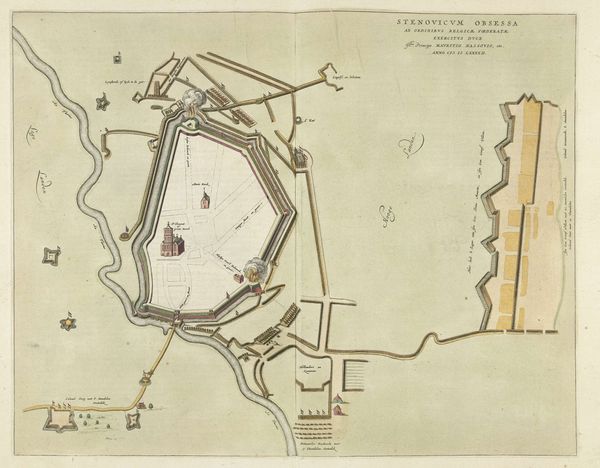
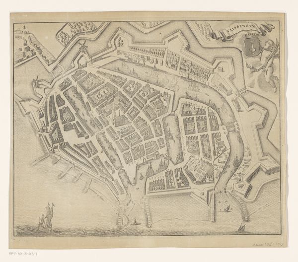
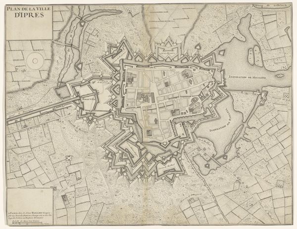
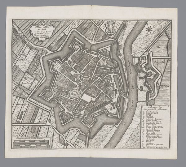
Curator: At first glance, this looks like a carefully considered blueprint. The detail work is impeccable. Editor: Indeed. What you're observing is titled "Plattegrond van Calais," and it was created sometime between 1874 and 1899. It employs etching, engraving, and photography to give us a comprehensive view of the port city. Curator: I’m immediately drawn to the star-shaped fortifications surrounding the town. You know, that really speaks to the political and military tensions of the era. These weren't just maps; they were strategic tools. Editor: Absolutely. The imagery of fortified cities always carries connotations of power and control. But beyond that, it reflects an almost archetypal representation of a 'protected' space—a walled garden against the outside world, a safe haven. Notice also the compass rose – a universal symbol of exploration and discovery. Curator: You're right. The compass emphasizes the function of Calais as a port city, a crucial node in trade and naval networks. These cityscapes weren't mere geographic representations. They legitimized colonial ambitions, displaying cities as pieces on a chessboard of global power. Editor: And thinking psychologically, a map is never neutral. Its visual language shapes how we understand our relationship to places—how we navigate our memories of a city, our potential interactions. These weren’t simply lines on a page; they encoded collective narratives. Curator: Yes, the politics of mapping often served to visually organize power, defining centers and peripheries and thus legitimizing dominance. It would be fascinating to explore its reception in relation to colonial infrastructure. Editor: It strikes me that, though rendered with technical precision, the true essence of this image might lie less in the ‘facts’ of its depiction and more in the shared history that it represents. Curator: I agree. It serves as a stark visual reminder that cities were always deeply intertwined with wider conflicts and geopolitical designs. Editor: Ultimately, beyond pure information, visual culture becomes another form of cultural heritage, loaded with emotional, cultural and psychological values.
Comments
No comments
Be the first to comment and join the conversation on the ultimate creative platform.
More like this