drawing, print, watercolor
#
drawing
#
baroque
# print
#
watercolor
#
geometric
#
cityscape
#
watercolour illustration
#
watercolor
Dimensions: height 104 mm, width 148 mm, height 532 mm, width 320 mm
Copyright: Rijks Museum: Open Domain
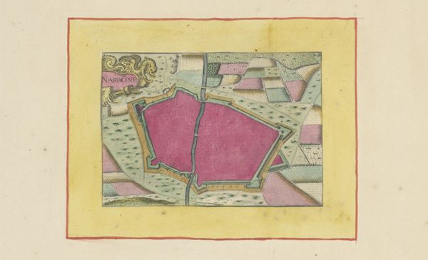
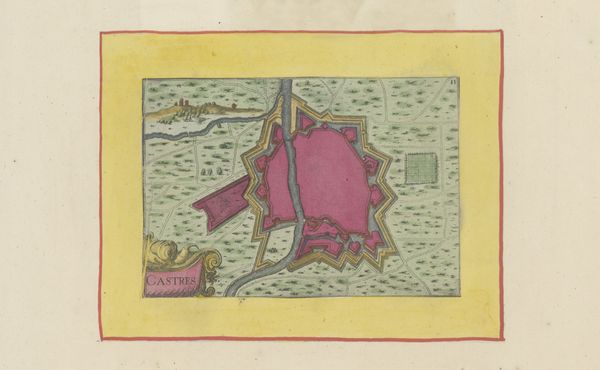
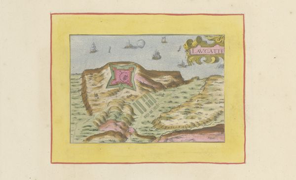
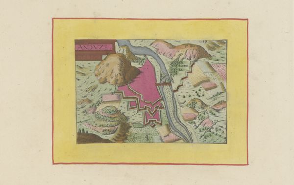
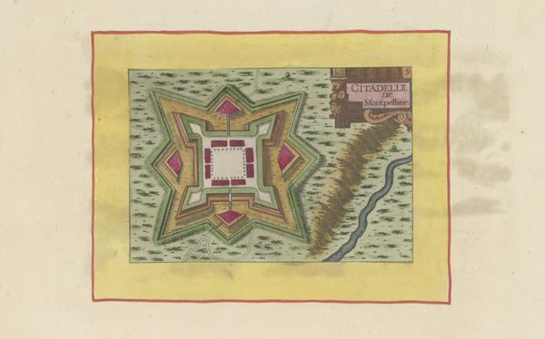
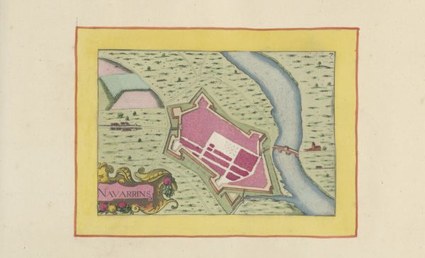
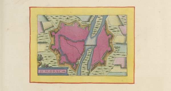
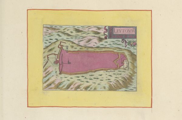
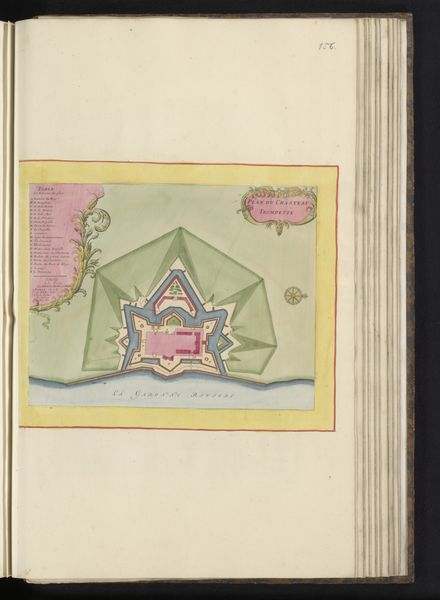
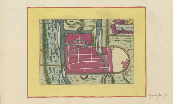
Editor: Here we have "Vestingplattegrond van Uzès," a 1638 print, drawing, and watercolor work by an anonymous artist. The star-shaped fortress surrounded by pale green gives the impression of something precious, almost like a gemstone, placed carefully on display. What's your take on this, from your perspective? Curator: It's interesting how you read that preciousness. For me, these cityscapes are rarely innocent. The geometric forms point directly to the rigid planning of baroque military engineering. Consider who this benefits, who is protected within those walls, and at whose expense. Whose land are we looking at? What geopolitical power dynamics are at play? Editor: So, you see the seemingly decorative nature of the map as a reflection of political power? Curator: Exactly! Think about the violence inherent in mapping – in claiming space, defining boundaries. Even the use of watercolor, seemingly delicate, could be read as a tool of colonization, visualizing and codifying territories for resource extraction and control. It’s a planned occupation visualized. Do you agree? Editor: I never thought of watercolors that way! So this map isn't just about geography; it's about imposing order. Curator: Absolutely. And the sharp angles, that militaristic geometry… they are not just about defense, but projecting an image of power. It would be naive not to also consider class, the wealthy elite benefiting from living behind fortification in a war zone. Editor: That’s fascinating; I am starting to see a deeper narrative about social structures here. It makes me consider the hidden intentions behind what seems like simple cartography. Curator: Yes, interrogating those hidden intentions is the most important work we do.
Comments
No comments
Be the first to comment and join the conversation on the ultimate creative platform.
More like this