1702 - 1703
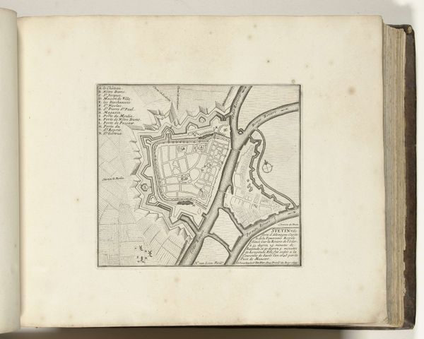
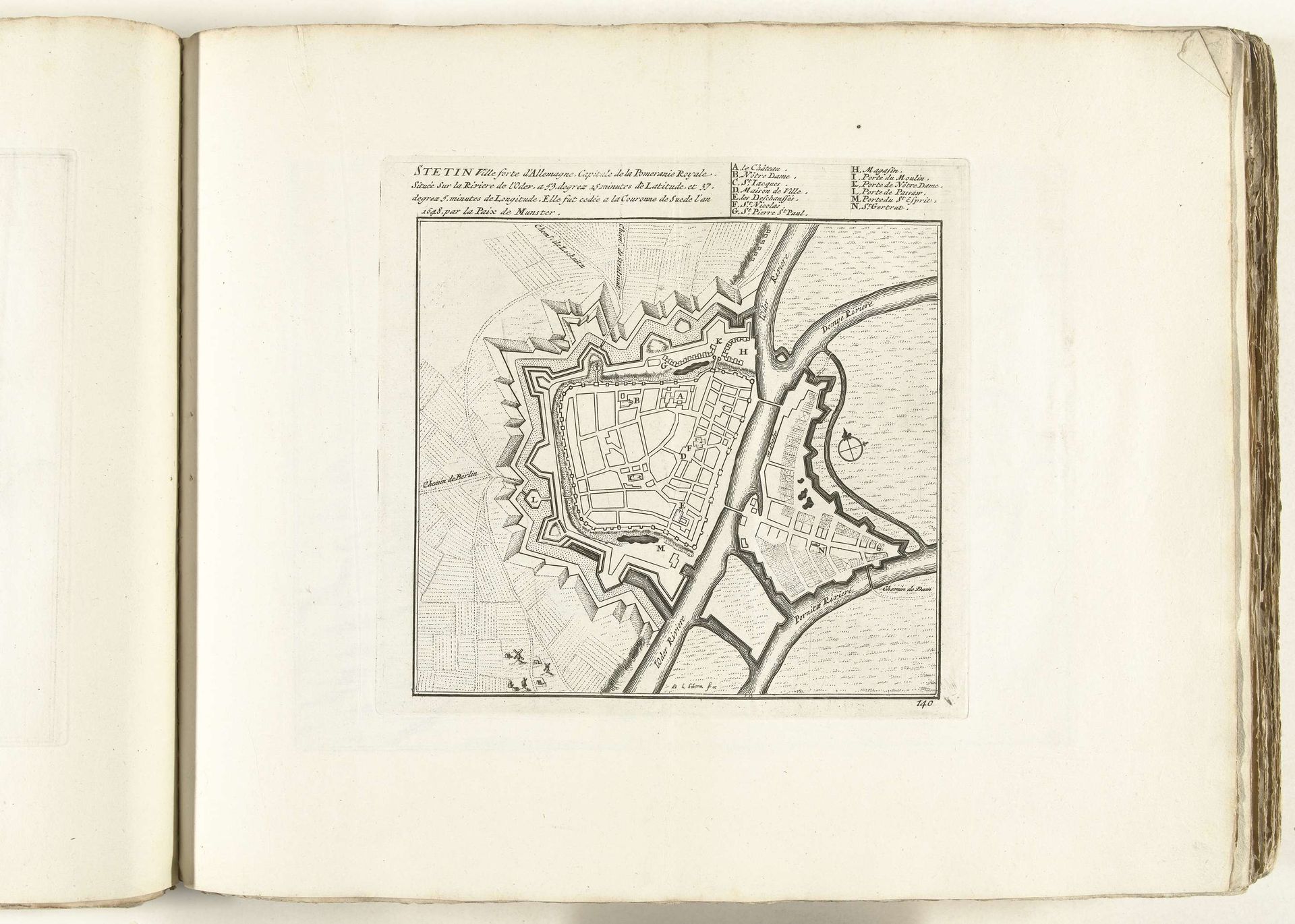
Plattegrond van Stettin, ca. 1702
Laurens Scherm
1671 - 1702Location
RijksmuseumListen to curator's interpretation
Curatorial notes
This is Laurens Scherm's “Plattegrond van Stettin”, made around 1702 with engraving on paper. Scherm was both the engraver and the cartographer. Engraving is an exacting art, demanding great skill to transfer an image onto a metal plate, which then serves as a matrix for printing. The fine lines you see here, describing the architecture and layout of Stettin, were carved into the plate by hand, a testament to the engraver's meticulous labour. Each line conveys not just information, but also a sense of the city's fortifications and urban planning. The stark contrast of the black lines against the white paper also speaks to a time of rapid information dissemination, enabled by the printing press. Maps like this were vital tools, serving military, commercial, and administrative purposes. But they also reflect a worldview, a desire to control and comprehend space. The act of mapping itself is a form of power, reducing a complex reality to a legible form. Scherm’s map shows how the tools of craft could serve larger social and political projects.