drawing, print, etching, ink, engraving
drawing
pen sketch
etching
old engraving style
ink
geometric
cityscape
engraving
Dimensions: height 203 mm, width 250 mm
Copyright: Rijks Museum: Open Domain
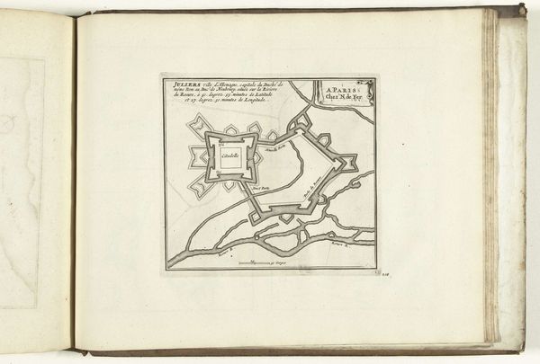
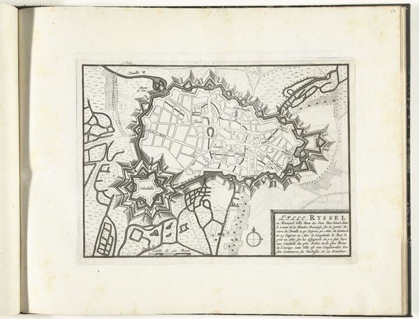
This is a map of le Quesnoy, produced anonymously in 1726. At first glance, it seems an objective rendering of space, but it also reflects complex political and social realities of the early 18th century. As a fortified town in Northern France, le Quesnoy was strategically important. Maps like these were essential tools for military planning and control. The precision and detail suggest the dominance of a particular perspective—that of those in power, who sought to survey, understand, and ultimately, control territory. The identity of the mapmaker remains unknown, which raises questions about authorship, and whose interests this map truly served. Was it a local, or someone aligned with the French crown? The map invites us to reflect on the relationship between knowledge, power, and perspective, prompting us to consider whose stories are told and whose are left out.
Comments
No comments
Be the first to comment and join the conversation on the ultimate creative platform.