drawing, ink, engraving
#
drawing
#
aged paper
#
toned paper
#
baroque
#
pen sketch
#
old engraving style
#
personal sketchbook
#
ink
#
ink drawing experimentation
#
geometric
#
pen-ink sketch
#
pen work
#
sketchbook drawing
#
cityscape
#
sketchbook art
#
engraving
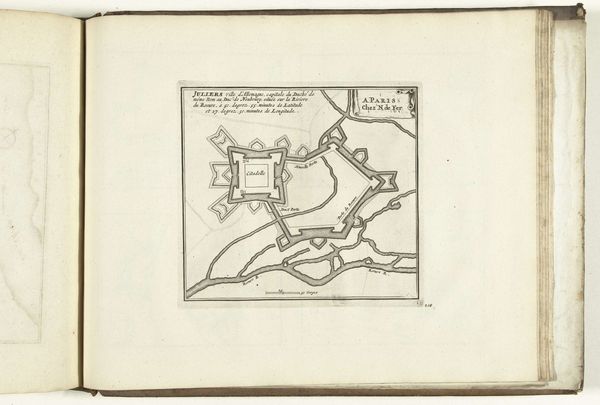
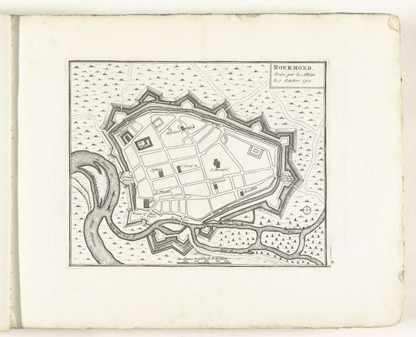
Dimensions: height 192 mm, width 268 mm
Copyright: Rijks Museum: Open Domain
This is a map of Valenza, created around 1702 by an anonymous artist. It's a document of power, made during a time of shifting political landscapes in Europe. Maps like these weren't just about geography; they were tools of empire, defining territories and asserting control. Note how the map meticulously details fortifications and strategic points, showcasing the city’s readiness for conflict. But who is missing from this picture? The lives of the people who inhabited this space, the human stories woven into the streets and buildings, are absent. Whose interests are served by this representation, and whose are obscured? While seemingly objective, this map implicitly reflects the priorities of the military and political elite. Consider the emotional distance of such a depiction, and the complex human realities it overlooks. These historical documents reveal as much by what they omit as by what they include.
Comments
No comments
Be the first to comment and join the conversation on the ultimate creative platform.
More like this