drawing, print, ink, engraving
#
drawing
#
baroque
# print
#
ink
#
geometric
#
cityscape
#
engraving
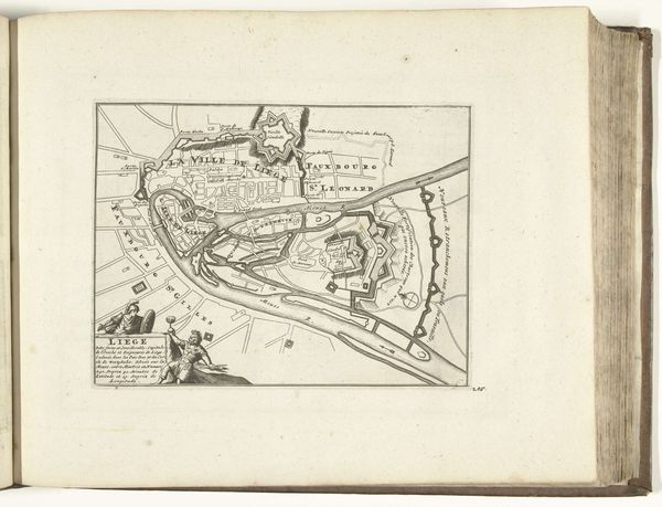
Dimensions: height 235 mm, width 272 mm
Copyright: Rijks Museum: Open Domain
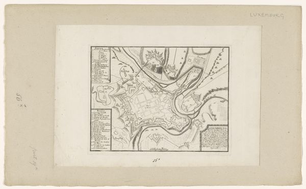
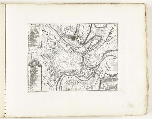
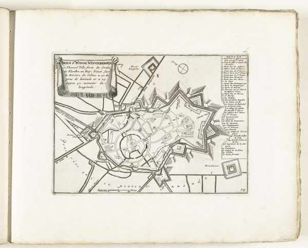
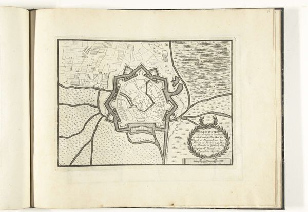
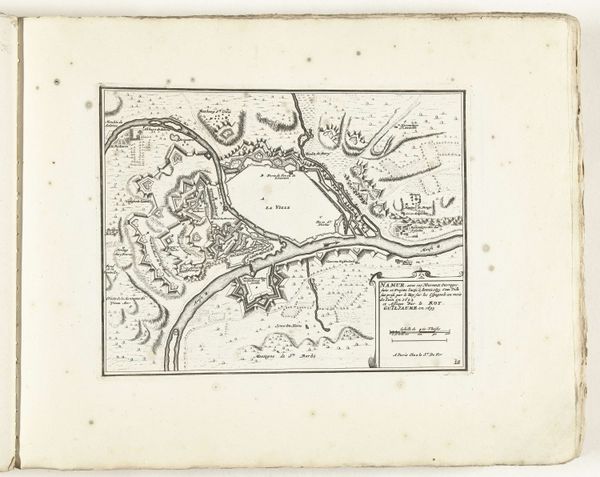
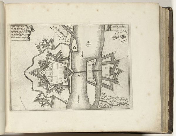
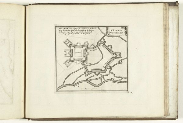
Around 1701-1713, Abraham Allard created this schematic plan of Liège, rendered in ink. The precise lines and geometric forms articulate the city's layout, bisected by the river Meuse. The structure imposed on nature is striking; we see a network of fortifications and urban planning that suggests a desire to control both space and society. In Allard's map, the interplay between nature and artifice becomes a sign. Rivers are channeled, and the landscape is dotted with fortresses. The map transcends mere representation, embodying power and control. It creates a semiotic system where each line and shape conveys information but also implies a narrative of human intervention. Notice the stark contrast between the flowing river and rigid architecture. This contrast epitomizes the tension between organic growth and imposed order. It challenges fixed meanings of urban space, inviting us to consider how these structures reflect broader social and political concerns.
Comments
No comments
Be the first to comment and join the conversation on the ultimate creative platform.

