print, engraving
# print
#
landscape
#
geometric
#
line
#
cityscape
#
history-painting
#
engraving
Dimensions: height 174 mm, width 196 mm
Copyright: Rijks Museum: Open Domain
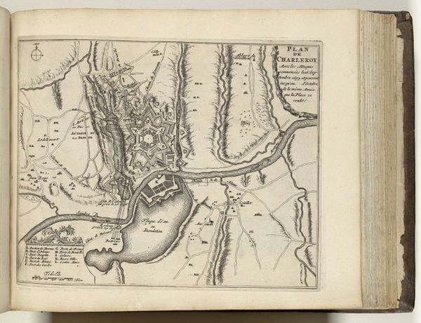
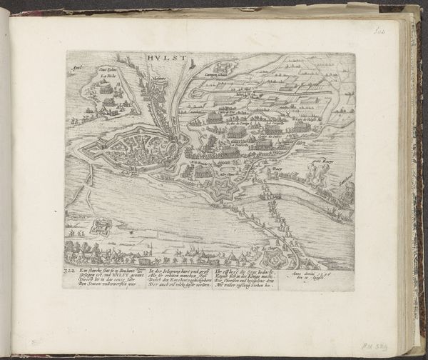
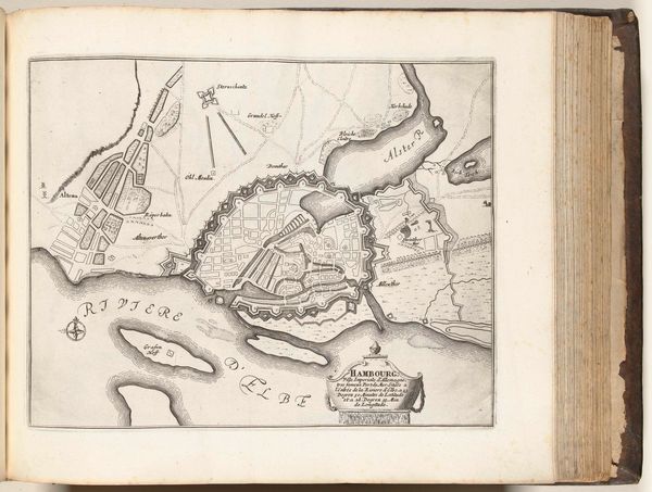
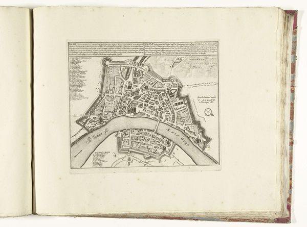
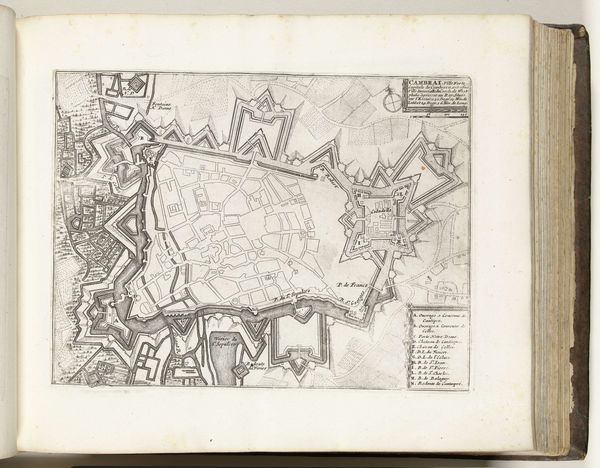
Harmanus van Loon created this map of Stettin in 1693. The city, now Szczecin in Poland, was then part of the Swedish Empire, and this detailed rendering reflects the strategic importance of urban centers in times of shifting political power. Maps like this weren't just geographical tools, they were statements of ownership and control. Think about how the act of mapping can reinforce power structures, determining who is included and who is marginalized. Consider the emotional experience of those living within or outside these mapped boundaries; who feels secure and who feels excluded? The neat, orderly depiction of Stettin contrasts sharply with the chaos and conflict that defined the era. Van Loon's map is a reminder that even the most objective-seeming representations are shaped by cultural context and political interests. It prompts us to reflect on the power dynamics inherent in mapping and how these depictions shape our perceptions of space, belonging, and identity.
Comments
No comments
Be the first to comment and join the conversation on the ultimate creative platform.
More like this