drawing, print, ink, engraving
#
drawing
# print
#
ink
#
cityscape
#
engraving
Dimensions: height 215 mm, width 274 mm
Copyright: Rijks Museum: Open Domain
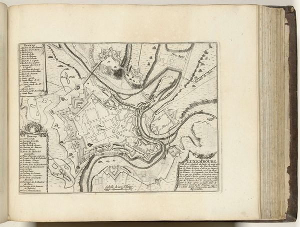
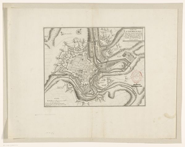
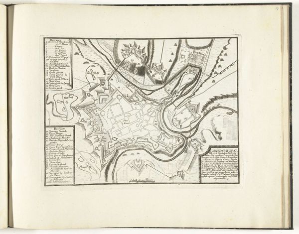
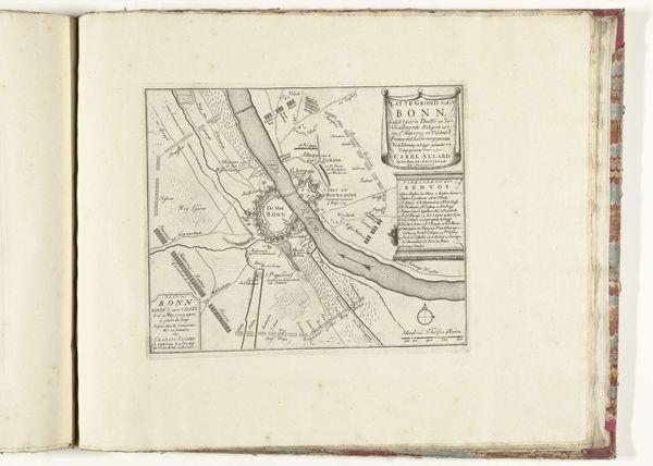
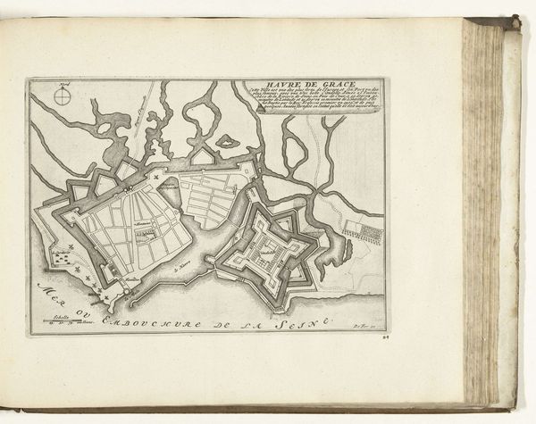
This is an anonymous etching of the city of Namur, made around 1702. This map of Namur reflects the turbulent period it was made in. The city, located in present-day Belgium, was strategically important and changed hands multiple times between the late 17th and early 18th centuries. The map emphasizes the city's fortifications, highlighting its role as a military stronghold. Star-shaped forts, designed to resist cannon fire, dominate the landscape. The map also reflects the rise of cartography as a tool of statecraft and military strategy. Precise and detailed maps were essential for planning military campaigns and controlling territory. The institutional histories of mapmaking, in this time, were intimately linked to the rise of the modern nation-state. Understanding this requires historical research into military engineering, the history of cartography, and the political dynamics of the time. Art like this is a product of specific social and institutional contexts.
Comments
No comments
Be the first to comment and join the conversation on the ultimate creative platform.
More like this