drawing, paper, watercolor, pen
#
drawing
#
water colours
#
baroque
#
sketch book
#
paper
#
watercolor
#
coloured pencil
#
pen
#
cityscape
#
watercolor
Dimensions: height 116 mm, width 168 mm
Copyright: Rijks Museum: Open Domain
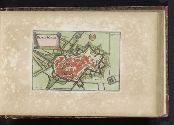
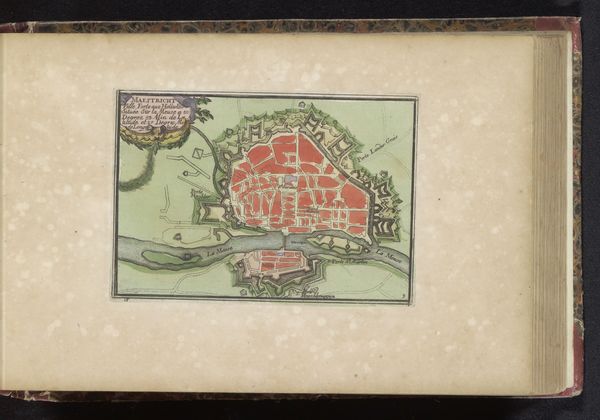
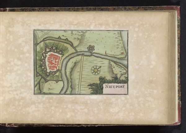
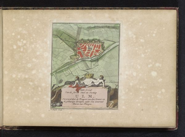
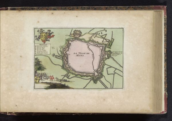
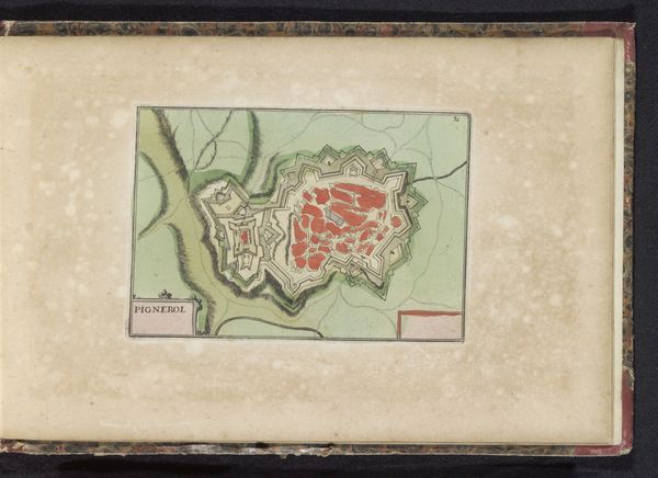
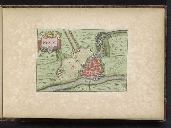
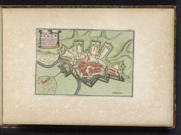
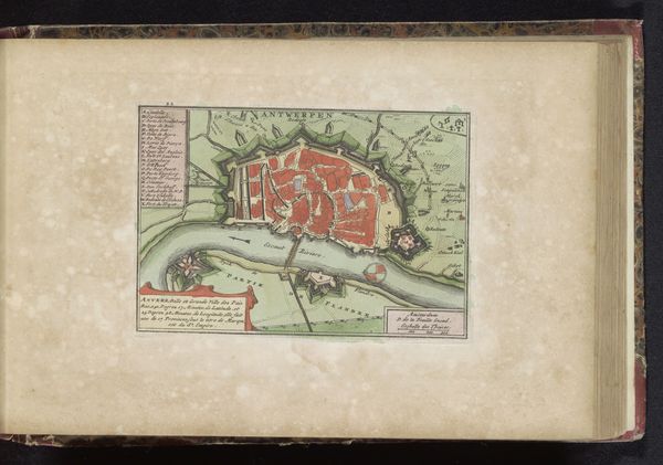
This anonymous map depicts Dunkirk, a town that endured many sieges. Notice the star shape. It is a recurring motif in military architecture, intended to maximize defensive capabilities through strategic placement of bastions and angles to deflect attacks. This shape is reminiscent of the star fort, a design which dates back to the 15th century. These forts are designed so that the bastions eliminate any dead zones, providing complete coverage against potential invaders. But think about how it has morphed across history, and even found its way into logos and other visual displays. The star shape can be observed in ancient civilizations, from the star of Ishtar in Mesopotamia, to the depiction of deities with star-shaped halos in religious artwork, representing divine power. Over time, the star has become associated with guidance, protection, and vigilance. This simple shape is an effective tool to instill a sense of security and control. It’s a powerful symbol, resonating with our subconscious desire for order amidst chaos. Observe how symbols reappear, evolve, and take on new meanings across time.
Comments
No comments
Be the first to comment and join the conversation on the ultimate creative platform.
More like this