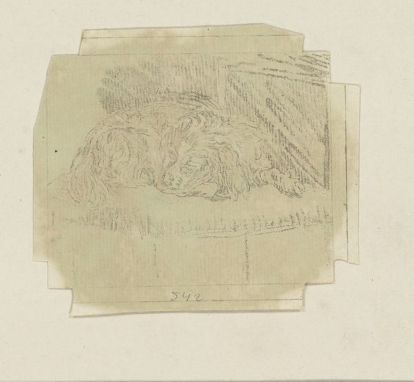
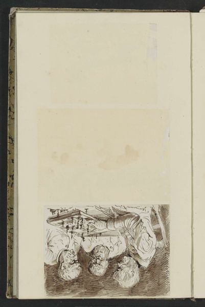
drawing, paper, watercolor, ink
#
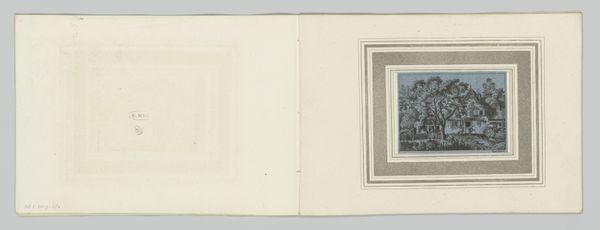
drawing
#
aged paper
#
medieval
#
ink paper printed
#
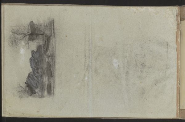
sketch book
#
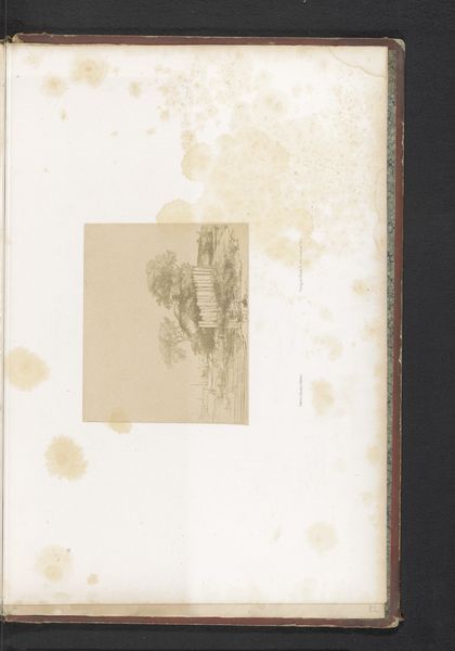
landscape
#
paper
#
personal sketchbook
#
watercolor
#
ink
#
sketchbook drawing
#
cityscape
#
watercolour bleed
#
watercolour illustration
#
storyboard and sketchbook work
#
sketchbook art
#
watercolor
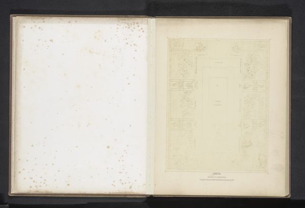
Dimensions: height 104 mm, width 151 mm, height 532 mm, width 320 mm
Copyright: Rijks Museum: Open Domain
Editor: Here we have an anonymous work from 1638, a drawing in ink and watercolor on paper, titled "Plattegrond van Amiens." The map, with its faded colors and delicate lines, has an archaic feel to it, a peek into a world carefully documented. What story does this image tell, from your perspective? Curator: It is interesting to view maps as documents deeply entrenched within the political agendas of their time. During the 17th century, meticulously crafted city plans like this one were crucial instruments. Not only did they represent urban spaces, but they also reflected a municipality’s desire to project power, order, and control. Look at the fortifications surrounding Amiens; their prominence suggests the city's concern with defense and status in a turbulent era. How do you perceive the relationship between the artistic rendering and the functional purpose of this map? Editor: I suppose the aesthetic choices, the colors, the angles... they aren't just there for beauty. They're emphasizing certain aspects of the city's strength. It is propaganda? Curator: Potentially. The map plays a public role. Consider who this map was intended for: rulers, merchants, military strategists? The level of detail, even the calligraphy used, speaks to a specific audience and intent. Now, reflect on what the decision to include this "Plattegrond van Amiens" into a museum setting means for its public perception and narrative? Editor: That’s a great question. I guess, displayed in a museum, it’s transformed from a functional document into an art object. The focus shifts from its practical use to its historical and aesthetic value. I've never considered the journey from use to artifact to impact my perception of an object like this. Curator: Exactly! It is also helpful to look beyond the artwork. Ask: What type of socio-political forces were in play when this map was made? Who benefitted? And, whose narrative might be missing here? These details often change over time. Editor: Thanks; this was insightful! I am much more prepared to evaluate this work. Curator: Likewise. I was really happy to participate!
Comments
No comments
Be the first to comment and join the conversation on the ultimate creative platform.
More like this