watercolor
#
baroque
#
watercolor
#
coloured pencil
#
cityscape
Dimensions: height 112 mm, width 167 mm
Copyright: Rijks Museum: Open Domain
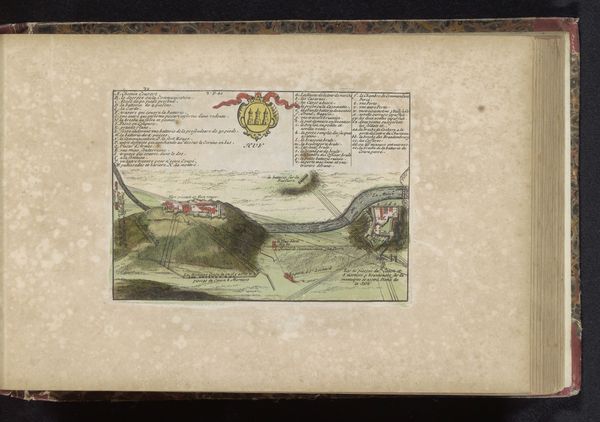
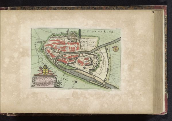
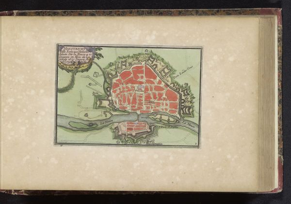
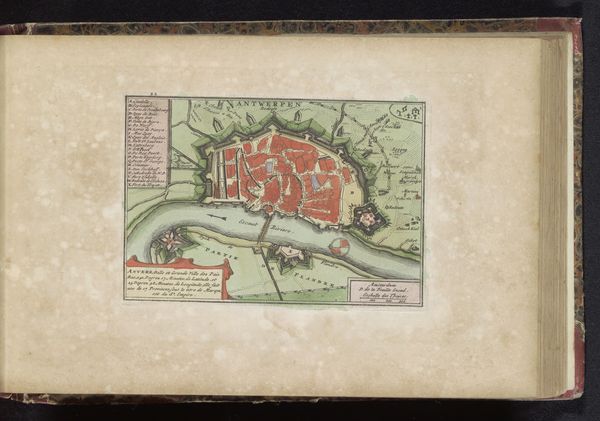
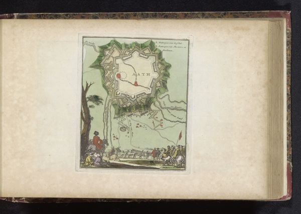
Here is an anonymous rendering of "Plattegrond van Dinant." This map presents a bird's-eye view of Dinant, a city nestled in the Meuse valley. Without knowing the artist, we might consider the map not as a depiction of place but as a lens into the politics of the time. Dinant, positioned as it was between France and the Holy Roman Empire, experienced conflict. Maps like these served strategic military purposes, documenting fortifications and terrains for planning and defense. But even if functional, maps such as this one are revealing in that they are cultural artifacts. Think about the emotional implications of reducing a lived space to a set of strategic points. What does it mean to see one's home represented as a site of potential conflict? Consider how these representations of place affect our understanding of belonging and identity, especially during times of conflict.
Comments
No comments
Be the first to comment and join the conversation on the ultimate creative platform.
More like this