drawing, print, paper, ink
#
drawing
# print
#
paper
#
ink
#
coloured pencil
#
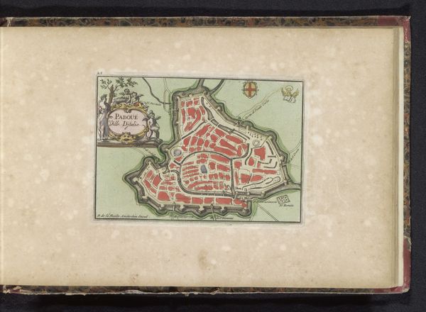
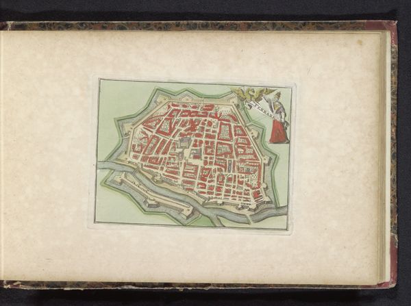
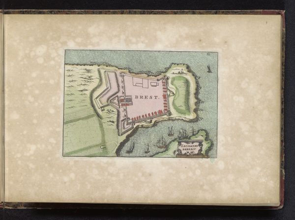
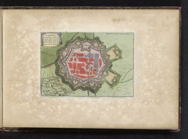
cityscape
Dimensions: height 120 mm, width 171 mm
Copyright: Rijks Museum: Open Domain
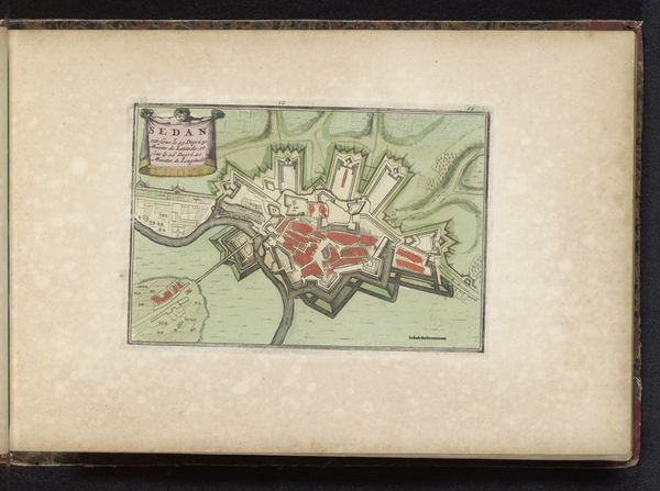
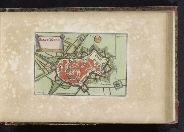
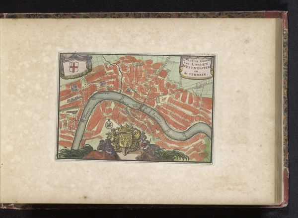
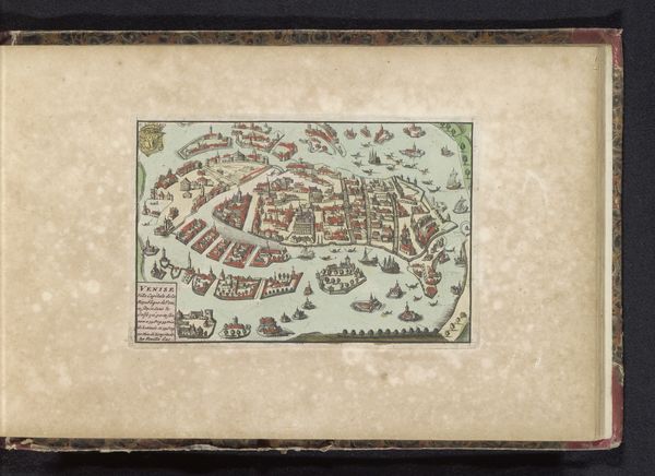
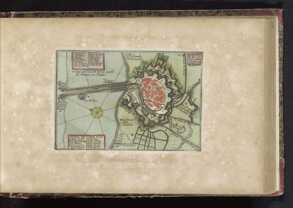
Curator: This detailed map is titled "Plattegrond van Maastricht," dating back to 1735, and crafted anonymously. It's a fascinating print, likely created with ink on paper, showcasing a cityscape view of Maastricht. Editor: It's surprisingly vibrant, even with age! I'm immediately drawn to the contrast between the orderly red blocks representing the city and the surrounding natural landscape. You can almost feel the strategic layout dictated by the river's course. Curator: Indeed. What’s compelling is how these city plans weren’t simply cartographic. They represented power. Consider Maastricht's strategic position and frequent sieges; a precise, widely distributed map reinforces the city's control of both knowledge and territory. Editor: I notice how the land appears secondary, just a backdrop to the infrastructure and fortification. Do you think the material choices would be informed by printing requirements, or could other mediums be involved? I'm curious how accessible or restricted its distribution might have been based on those material limitations. Curator: Material costs and printing technology certainly would have impacted dissemination. Given the likely recipients, the ruling elite or military strategists, it could have been more about controlled circulation than widespread accessibility. Consider that even the ink, its quality, and color would symbolize sophistication. Editor: Looking closer, you see how ink wasn’t just about communication; it dictated precision for those rigid cityscapes. Thinking about Maastricht, the buildings almost look identical with a reddish material – I’d be intrigued to know the predominant building materials of the time and if they would've extracted locally or be considered part of the war effort too. Curator: That's an astute observation. These maps provide information that went far beyond navigation or military planning; they showcase the relationship between artistic creation, civic power, and social status. Editor: Exactly! Maps as art, as control. Seeing this really makes me want to delve into the local economies supporting this production! It adds layers to how we read art through a different lens. Curator: I completely agree. Studying this map through your eyes highlights the fascinating interplay between design, material resources, and historical power structures. Thanks!
Comments
No comments
Be the first to comment and join the conversation on the ultimate creative platform.
More like this