drawing, watercolor
#
drawing
#
water colours
#
baroque
#
watercolor
#
coloured pencil
#
cityscape
Dimensions: height 86 mm, width 151 mm
Copyright: Rijks Museum: Open Domain
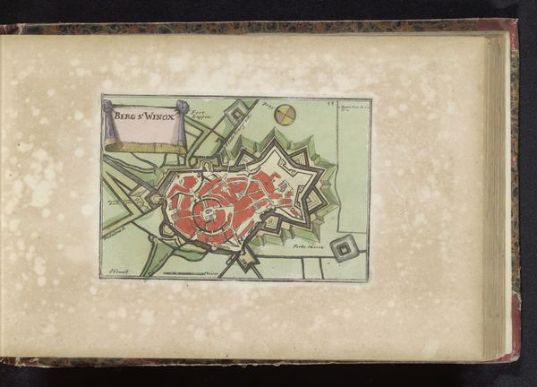
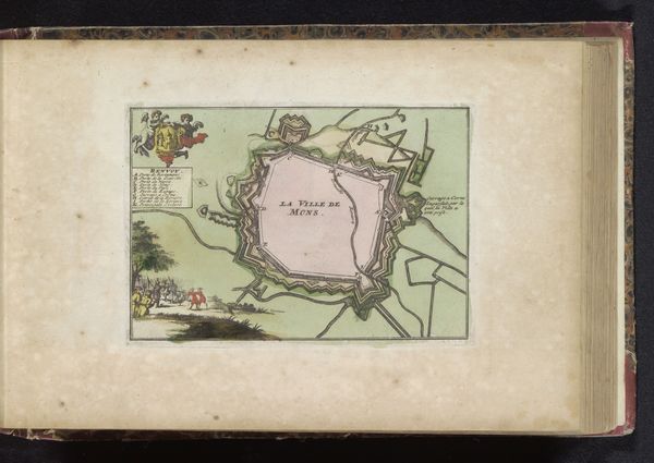
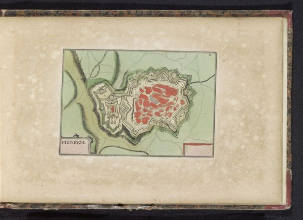
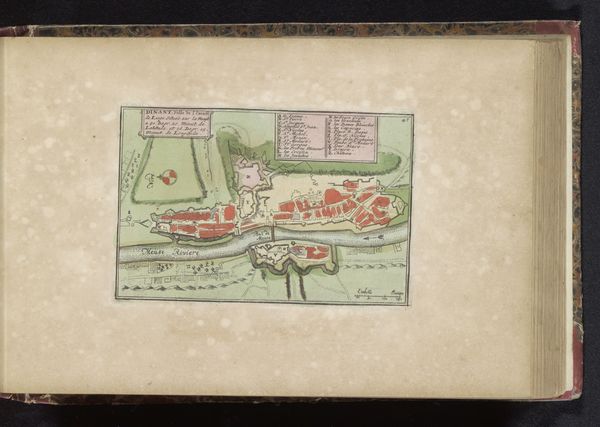
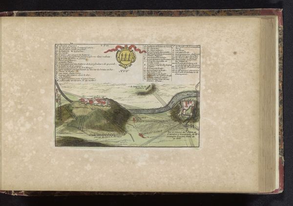
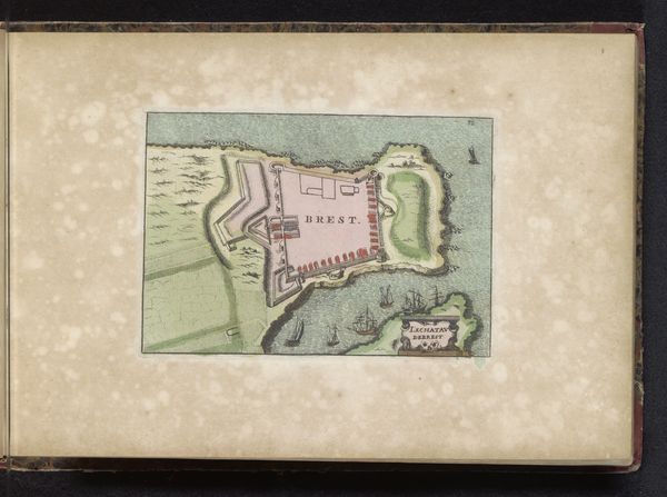
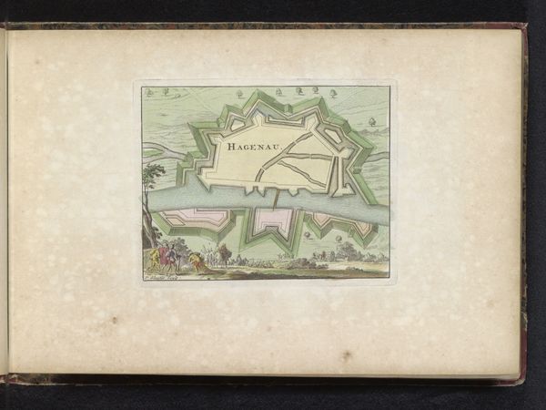
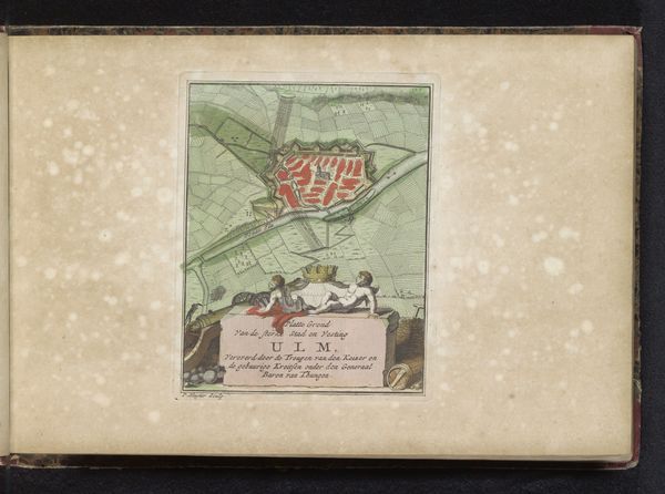
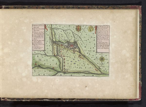
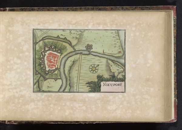
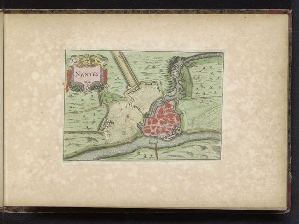
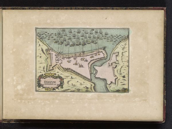
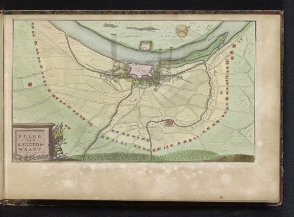
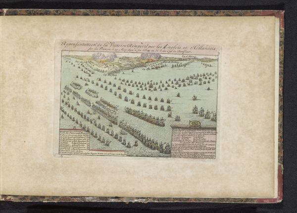
This map of Charleroi was made anonymously, using paper, ink, and watercolor. Its small size suggests it was included in a book, perhaps an atlas or military handbook. What interests me most is how this image was produced. Engraving is a printmaking process where an image is cut into a metal plate, which is then inked and pressed onto paper. The linear quality of the map, especially the neat hatching indicating the landscape, reveals this process. Watercolor would then have been carefully applied by hand, likely by workshop artisans, adding an element of individualized craft to a mechanically reproduced image. Maps were essential tools for military strategy, urban planning, and colonial expansion. Their production was tied to political power, economic development, and control. Looking closely at the craftsmanship of this map reminds us that even seemingly objective documents are the product of human skill, labor, and intent.
Comments
No comments
Be the first to comment and join the conversation on the ultimate creative platform.
More like this