drawing, print, watercolor
#
drawing
#
baroque
# print
#
watercolor
#
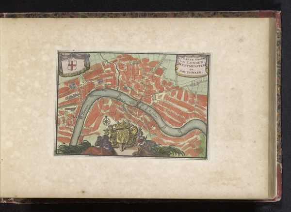
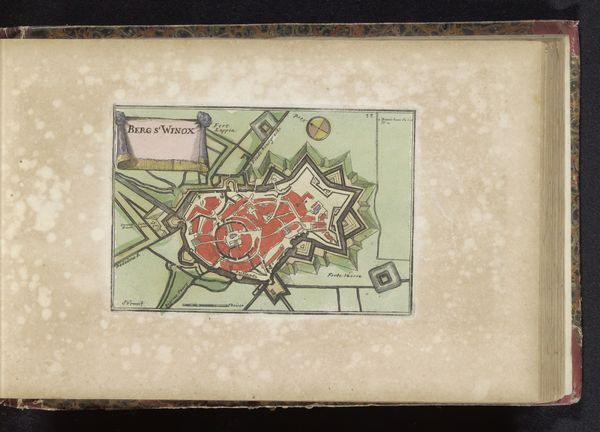
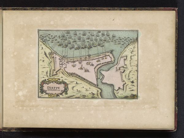
cityscape
#
watercolor
Dimensions: height 120 mm, width 173 mm
Copyright: Rijks Museum: Open Domain
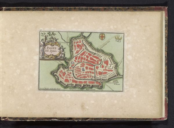
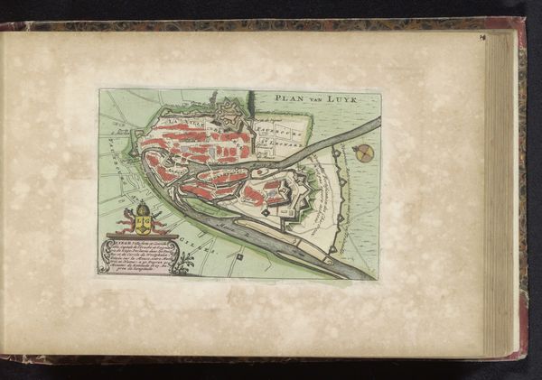
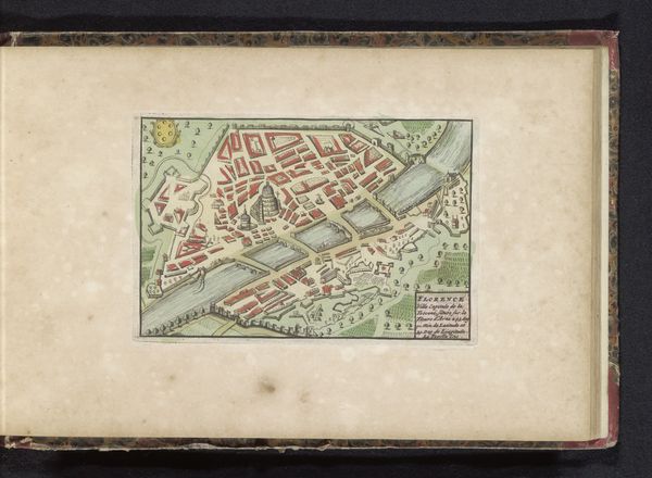
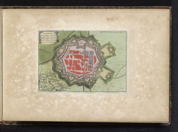
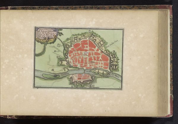
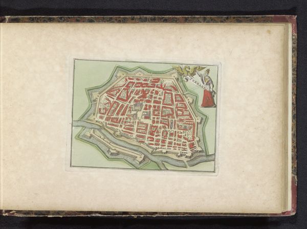
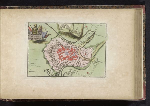
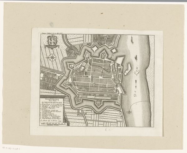
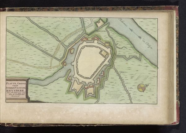
Editor: So, here we have an intriguing drawing called "Plattegrond van Sedan," created between 1700 and 1735 by an anonymous artist. It's a watercolor print of a cityscape. I'm struck by the rigid geometry and fortified structure. What stands out to you? Curator: What I find fascinating about this map is how it functions not just as a representation of a city, but also as a declaration of power and control. During the Baroque period, cityscapes, especially fortified ones like Sedan, were tools of political and military propaganda. This isn't just about showing you the streets; it’s about displaying a carefully designed defense system, projecting strength and strategic advantage. Do you notice the star-shaped fortifications? Editor: Yes, very prominent. Each point seems designed to cover all angles. So the map itself becomes a symbol of military might? Curator: Exactly. Consider who might have commissioned this map and for what purpose. Was it for military planning? To impress potential allies? Or perhaps to intimidate rivals? The medium – watercolor and print – also tells us something. Prints allowed for wider dissemination, while the hand-applied watercolor adds a touch of prestige. This piece served a public function. Editor: It’s like the artwork itself participates in the power dynamics of the era. I hadn’t thought of it that way. It's not passive, but active. Curator: Precisely! It’s a reminder that art, even seemingly objective depictions like maps, are always shaped by social, cultural, and political forces. Editor: This makes me see maps, and the choices behind them, in a totally new light. Curator: And for me, revisiting this map highlights how artistic representation intertwines with displays of dominance and political strategy throughout history.
Comments
No comments
Be the first to comment and join the conversation on the ultimate creative platform.
More like this