drawing, paper, watercolor
#
drawing
#
baroque
#
paper
#
watercolor
#
cityscape
#
watercolor
Dimensions: height 117 mm, width 171 mm
Copyright: Rijks Museum: Open Domain
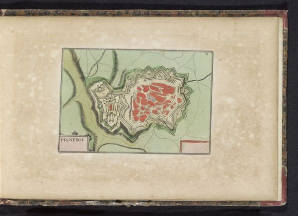
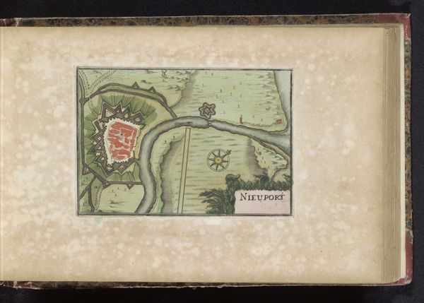
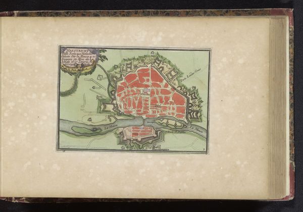
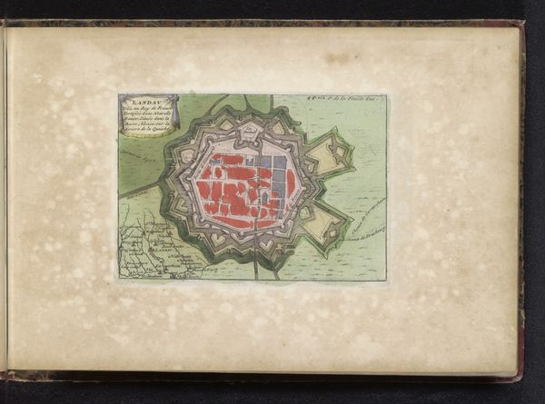
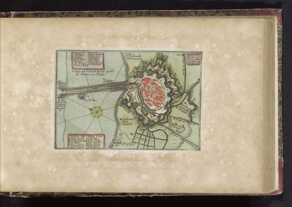
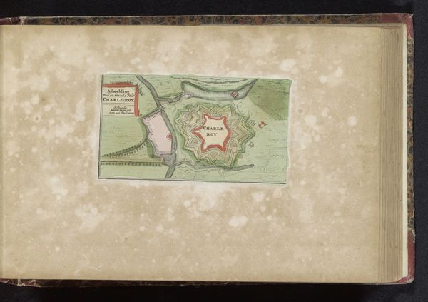
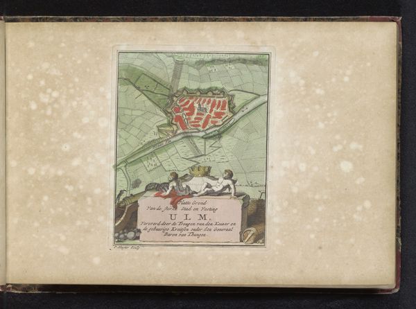
Editor: Here we have a work entitled "Plattegrond van Sint-Winoksbergen" made between 1700 and 1735 by Jan van Vianen. It’s a Baroque-style drawing done with watercolor on paper, currently held at the Rijksmuseum. What strikes me is the rigidity and control in this piece. I mean, look at that star-shaped fortress surrounding the city! What’s the historical context behind this visual choice? Curator: The star-shaped fortress is crucial! It indicates that this isn't just a map; it’s a representation of power, specifically military power, projected onto the landscape. These types of fortifications became popular during the Baroque era, driven by advances in cannon technology. They were designed to eliminate blind spots, offering defenders all-around visibility. Editor: So it's like a visual embodiment of control and defense? Was this town particularly significant, prompting such a detailed rendering? Curator: Precisely! Towns like Sint-Winoksbergen, now Bergues in Northern France, were often strategically important. Think of the socio-political landscape of 18th-century Europe, riddled with conflicts and shifting territories. These maps served both practical and symbolic purposes: surveying land for strategic advantage, but also demonstrating ownership and authority. Who do you think commissioned these maps? Editor: I would imagine the local government or military leaders who had a stake in controlling the territory. Curator: Absolutely. And remember, artistic choices are never neutral. The visual precision, the stark contrast between the red of the town and the green of the surrounding landscape - these elements create a very specific message about the relationship between the city and the outside world. Editor: It really does highlight the constructed nature of the city. It is separated from nature, both practically and visually. Curator: Yes! It reveals the priorities of the time, emphasizing urban development, military strategy, and the politics of space itself. Editor: Thanks, that was super interesting! It gives me a whole new perspective. I came in just seeing it as a flat plan, but now I can recognize how much more it represents. Curator: And hopefully you’ll carry this perspective to every artwork you encounter. They all tell stories of power, identity, and place.
Comments
No comments
Be the first to comment and join the conversation on the ultimate creative platform.
More like this