drawing, print, paper, ink, engraving
#
drawing
#
baroque
# print
#
landscape
#
paper
#
ink
#
coloured pencil
#
geometric
#
engraving
Dimensions: height 153 mm, width 227 mm
Copyright: Rijks Museum: Open Domain
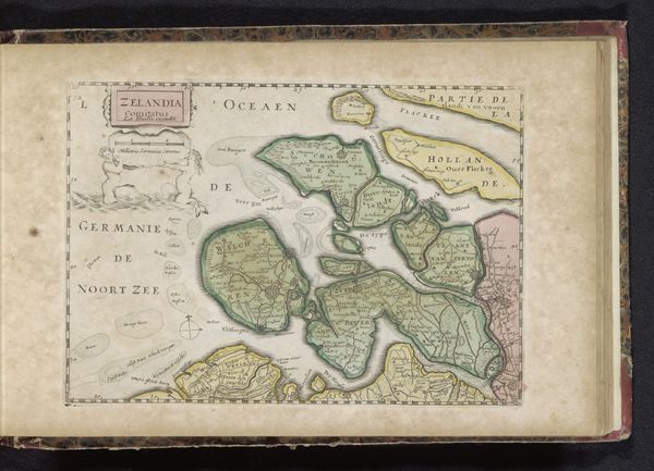
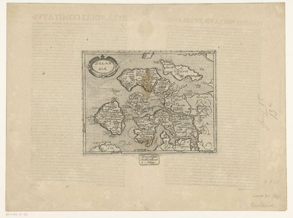
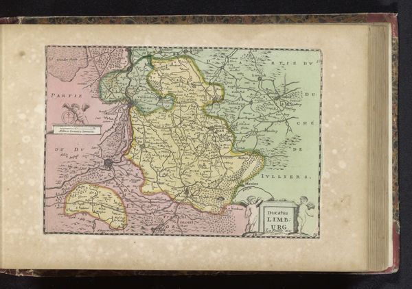
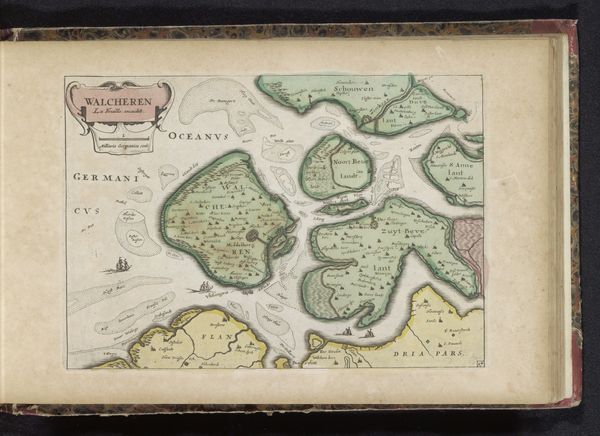
Editor: Here we have an antique map, "Kaart van Friesland en Groningen," dating from between 1700 and 1735. It’s made using ink, engraving and drawing, and beautifully coloured. It feels somehow both precise and dreamlike to me. What leaps out at you when you look at this? Curator: It’s a funny old thing, isn’t it? This map offers a peep into a world that was both known and imagined. You know, before satellites gave us the world on a screen. Maps like this one were real tools but they also served as statements. What do you think it means for the Frisians to have their land mapped out like this? Editor: Hmmm, I guess it shows that they were being recognised and, in a way, owned or controlled? That somebody had taken the time and energy to chart out their space? Curator: Exactly! Someone had the ambition to picture them, define them. This baroque landscape isn’t just about directions; it’s about power, perspective, a particular point of view made solid through ink and paper. And you can see the geometry fighting with the artist's intuition, creating this beautiful tension. Do you see it? Editor: I do, especially where the land meets the sea, so many islands are just… sketched in. It really speaks to the limits of the map maker's knowledge! Curator: The imperfections, you see, are where the magic happens. It is not just a map but a captured moment, a conversation across time. What will you do now with this newfound vision, Editor? Editor: Definitely going to look at maps differently now; not as facts, but stories. Thanks so much for your insight!
Comments
No comments
Be the first to comment and join the conversation on the ultimate creative platform.
More like this