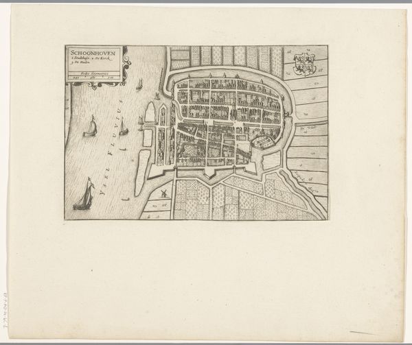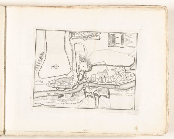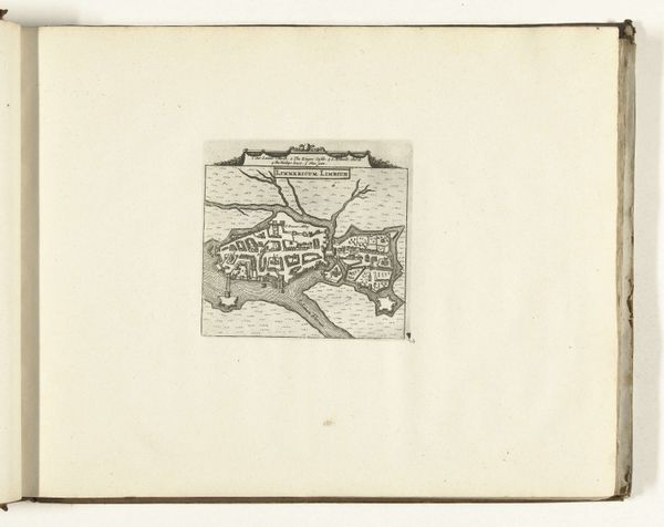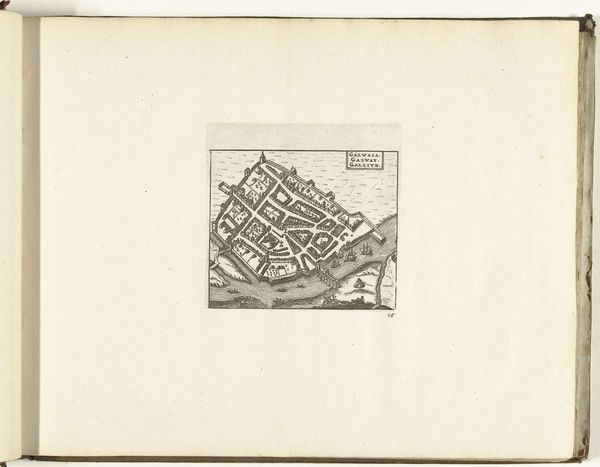
print, paper, engraving
# print
#
paper
#
15_18th-century
#
cityscape
#
engraving
Dimensions: height 126 mm, width 135 mm
Copyright: Rijks Museum: Open Domain
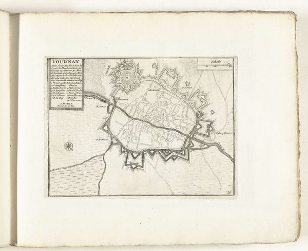
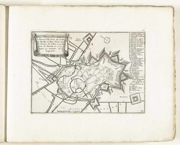
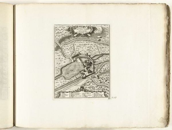
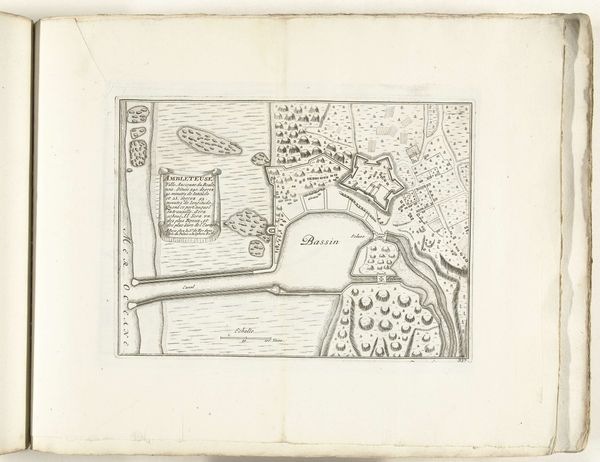
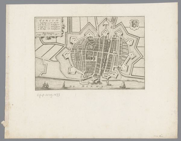
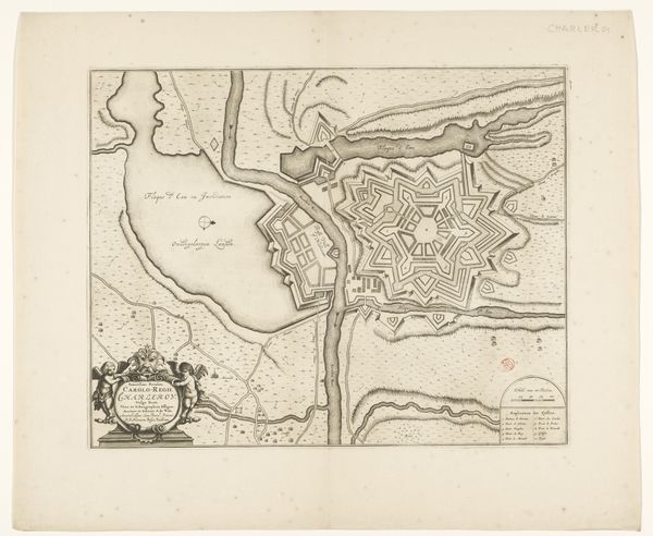
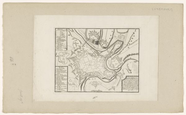
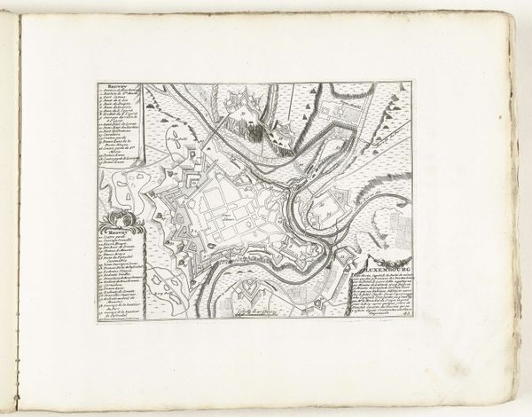
This is an anonymous engraving of "Plattegrond van Dublin" from 1726. The map offers a glimpse into Dublin's urban landscape during a period marked by British colonial rule and profound social stratification. As we examine the layout of Dublin, it's impossible to overlook the ways in which space and power intersect. Consider the stark disparities between the affluent neighborhoods and the impoverished quarters, reflecting the hierarchical structures of the time. The map becomes a canvas upon which we can trace the lines of class, gender, and religious divides that shaped everyday life in 18th-century Dublin. What stories are not told? Consider how the very act of mapping can be interpreted as an assertion of control and dominance. Whose perspectives are prioritized, and whose voices are silenced in this representation of the city? This map serves as a poignant reminder of the complex and contested histories embedded within the urban landscape.
Comments
No comments
Be the first to comment and join the conversation on the ultimate creative platform.

