1702 - 1703
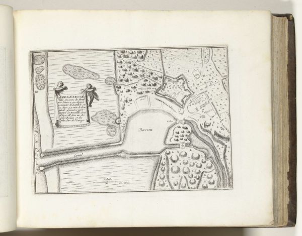
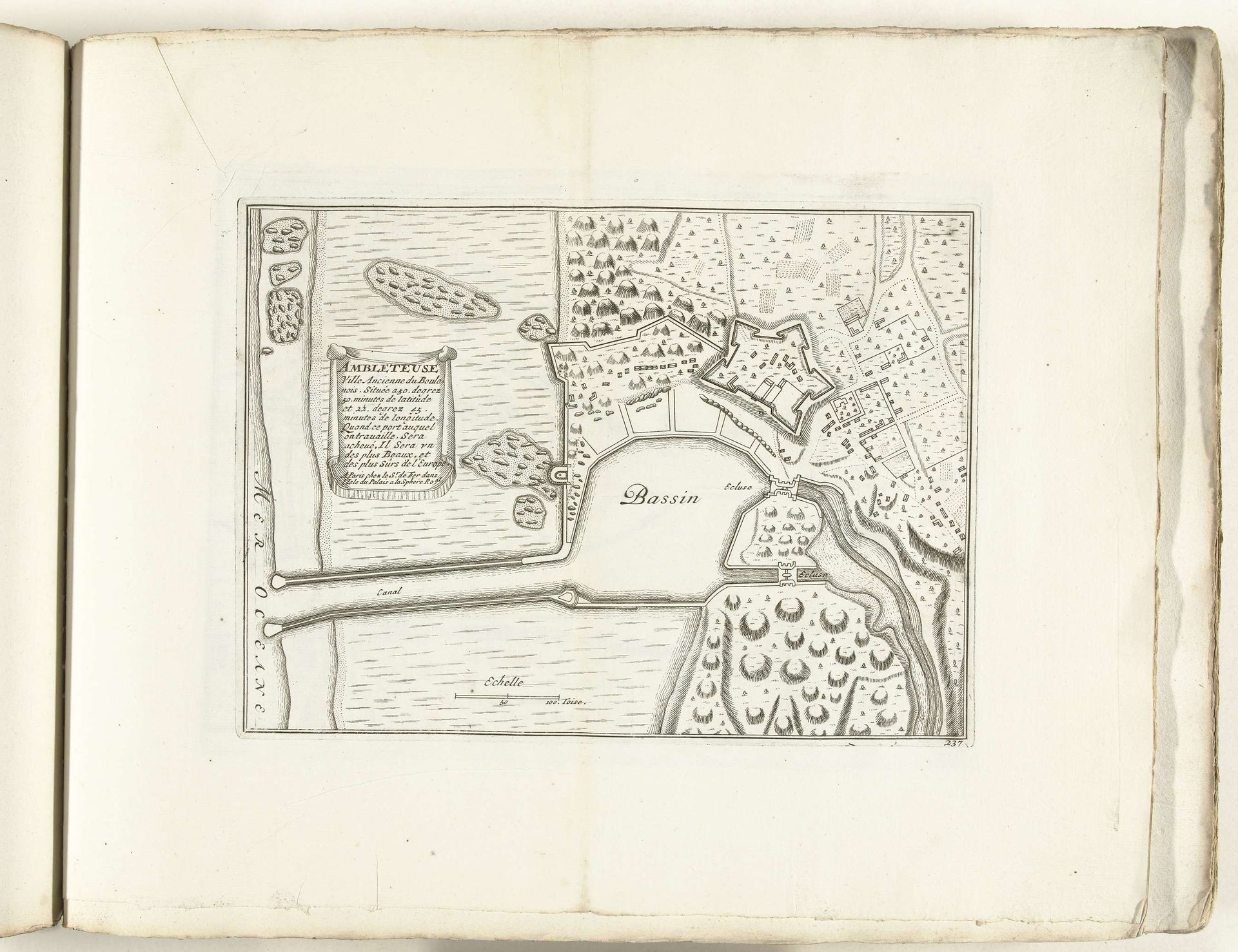
Plattegrond van Ambleteuse, ca. 1702
Anonymous
@anonymousLocation
RijksmuseumListen to curator's interpretation
Curatorial notes
This is an anonymous drawing of the ground plan of Ambleteuse, made around 1702. Ambleteuse was a strategic coastal town in northern France, and plans like this were crucial for military and administrative purposes. Cartography has always been deeply entwined with power. The act of mapping a place is an assertion of control and knowledge, defining borders and territories. This map, though seemingly objective, reflects the interests of those in power – likely the French monarchy at the time. Consider how the town is represented: neatly organized, with clear boundaries and strategic fortifications. This is not just a neutral depiction; it's a carefully constructed image of order and control. It invites us to reflect on how maps not only represent space but also shape our understanding of it, and who gets to decide what that representation looks like.