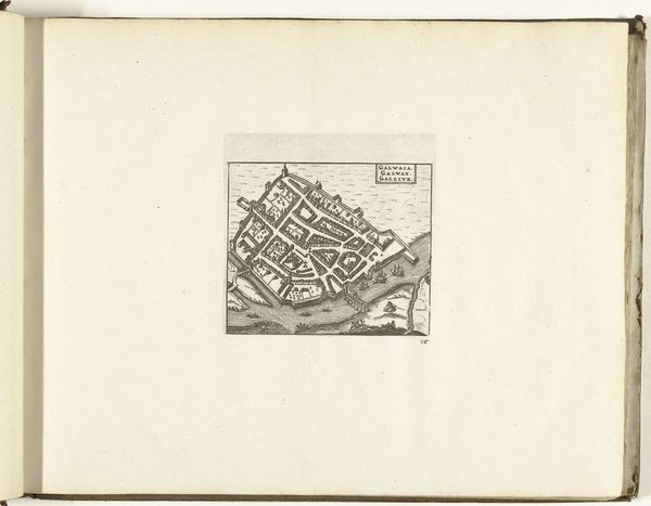
drawing, print, paper, ink, engraving
drawing
baroque
paper
ink
geometric
cityscape
engraving
Dimensions: height 128 mm, width 135 mm
Copyright: Rijks Museum: Open Domain
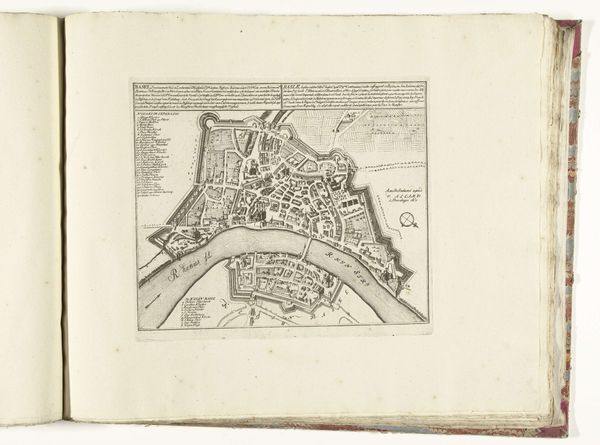
This anonymous map of Limerick, made in 1726, presents a complex interplay of geometric forms and organic shapes, rendered with delicate precision. The city itself is depicted as an intricate arrangement of rectangular blocks, bisected by roads. This creates a tight, organized structure, contrasting with the fluid, less defined rendering of the river and surrounding landscape. The river’s curves and irregular edges suggest a natural, almost chaotic element, juxtaposed against the man-made order of the town. Semiotically, the map functions as a representation of power and control. The grid-like layout symbolizes human dominance over the environment, while also highlighting the imposition of structure onto a previously unstructured space. The contrast between the city's sharp lines and nature's soft curves invites us to consider the historical and philosophical concerns surrounding urbanization and the human impact on the natural world. It is a potent reminder of the complex relationship between humanity and its environment.
Comments
No comments
Be the first to comment and join the conversation on the ultimate creative platform.