print, engraving
#
dutch-golden-age
# print
#
geometric
#
cityscape
#
engraving
Dimensions: height 156 mm, width 232 mm
Copyright: Rijks Museum: Open Domain
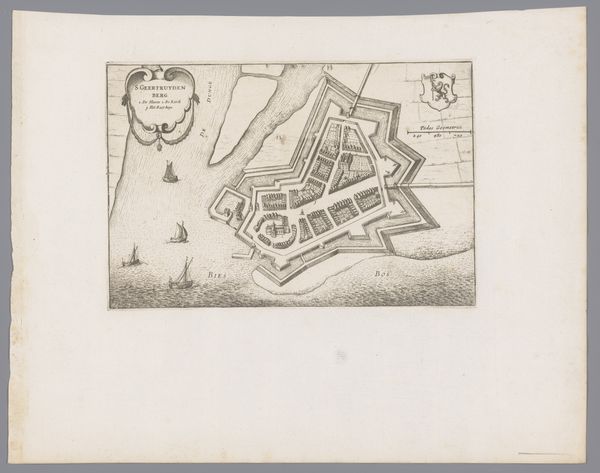
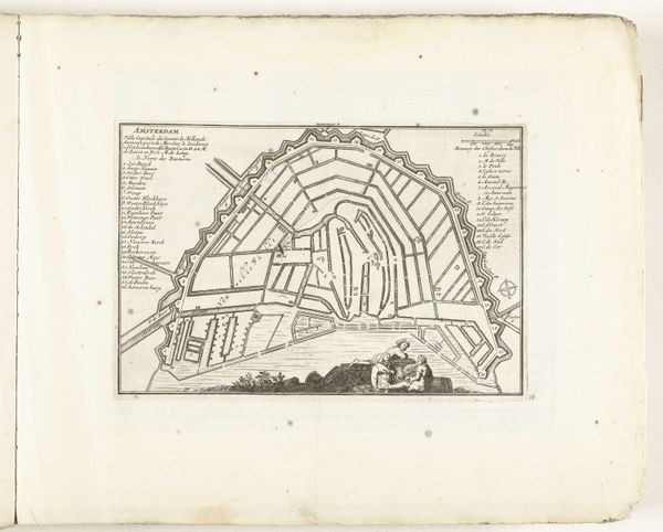
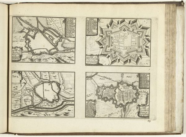
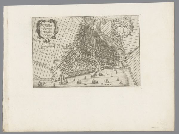
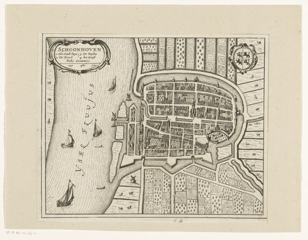
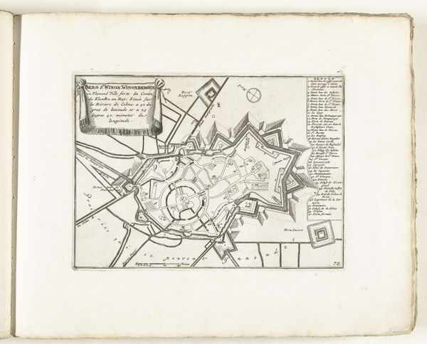
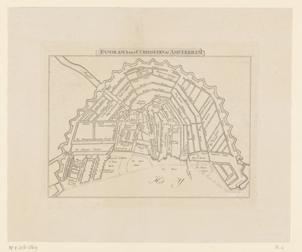
This is an anonymous map of Gorinchem, made using etching, a printmaking technique. The map offers a bird's eye view of the city, a visual convention that served not just informational, but also ideological ends. Made in the Netherlands, a key center for cartography, this map reflects the cultural and economic importance of trade and navigation to Dutch society. The detailed depiction of fortifications and waterways highlights the city's strategic significance. The coat of arms, and carefully labeled landmarks are visual indicators of civic pride and institutional authority. Maps like these played a role in shaping perceptions of space and power, both for those within the city and for outsiders. The image is more than just a record. It’s a carefully constructed representation that reflects the values and priorities of its time. By consulting historical documents, urban plans, and other visual sources, we can better understand the social and institutional forces that shaped both the city itself and its representation in art.
Comments
No comments
Be the first to comment and join the conversation on the ultimate creative platform.
More like this