drawing, print, engraving
drawing
dutch-golden-age
pen illustration
old engraving style
geometric
line
history-painting
engraving
Dimensions: height 145 mm, width 225 mm
Copyright: Rijks Museum: Open Domain
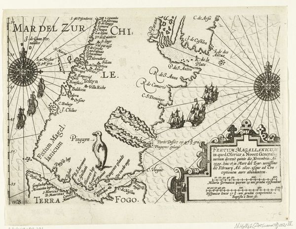
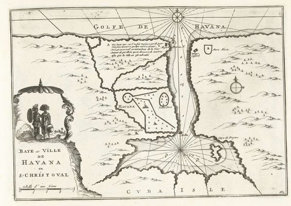
This is a 1600 map of the coasts of Peru and Brazil made by Baptista van Doetechum. Doetechum, as the inscription tells us, “sculpsit,” or “engraved” the image, which suggests the map's status as a printed reproduction rather than an autonomous work. This map reflects European expansion into the so-called ‘New World,’ and should be understood in light of the political and economic interests of the time. It’s a vision of South America from the perspective of European maritime exploration and colonial ambition. Note the visual emphasis given to coastal features and ports. The map also tells us something about the institutional history of cartography. Take a look at the use of Latin, alongside the specification of German and Hispanic miles; this suggests that the map was pitched to a scholarly community, with the intention to translate geographic knowledge into systems of measurement. By studying maps like this, along with archival records of maritime trade and exploration, we can learn how the production of geographic knowledge played a crucial role in shaping Europe's relationship with the wider world.
Comments
No comments
Be the first to comment and join the conversation on the ultimate creative platform.