print, engraving
#
dutch-golden-age
# print
#
landscape
#
geometric
#
engraving
Dimensions: height 378 mm, width 492 mm
Copyright: Rijks Museum: Open Domain
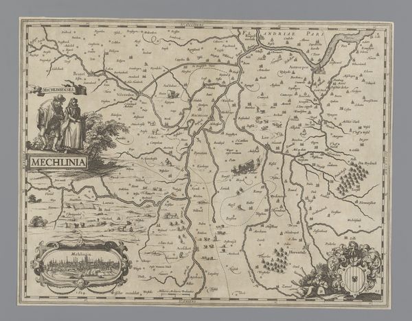
This is an anonymous map of a region in Flanders, offering a glimpse into the 17th century Low Countries. Think about maps as cultural artifacts. How do they not only reflect geographical knowledge but also the values and power structures of their time? The attire of the figures depicted alongside the "Mechlinia" title suggests a certain level of societal status, perhaps those who commissioned or benefited from this mapping project. What does it mean to map a territory, to delineate its boundaries, and to name its features? Who gets included, and who gets left out? Consider also the act of seeing and the politics of perspective. How does a map like this shape one's understanding of place, belonging, and identity? It invites us to think about how landscapes are not just physical spaces, but also social and political arenas. It challenges us to consider the emotional and personal dimensions of territory and its representation.
Comments
No comments
Be the first to comment and join the conversation on the ultimate creative platform.
More like this