print, engraving
# print
#
11_renaissance
#
geometric
#
line
#
history-painting
#
italian-renaissance
#
engraving
Dimensions: height 380 mm, width 520 mm
Copyright: Rijks Museum: Open Domain
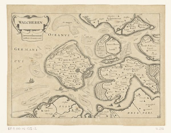
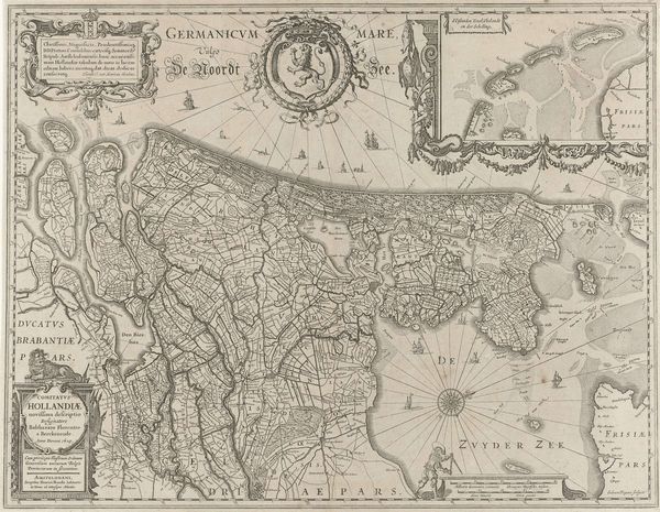
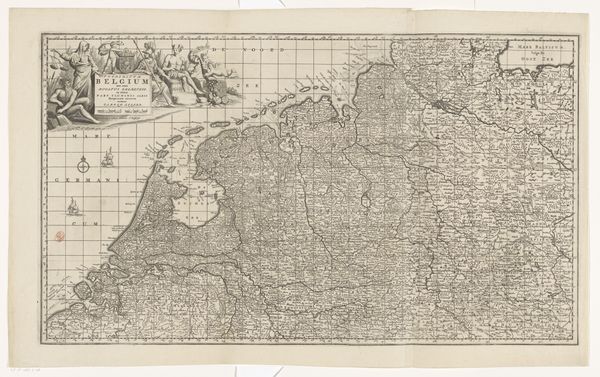
Curator: Standing before us, we have a fascinating piece by Giovanni Andrea Vavassore, titled "Kaart van Italië," or "Map of Italy," created around 1555 to 1560. This artwork, an engraving, presents a detailed cartographic view of the Italian peninsula. Editor: Wow, look at all that detail crammed in. It's overwhelmingly intricate, like a beautiful, patterned carpet! Almost makes me want to get lost in it. Curator: Precisely! The linear style accentuates every contour, coastline, and topographical element. What strikes you about this map? Editor: There's a strange disconnect. The land is packed with chaotic textures, but the sea...the sea feels so empty, defined solely by these vast Latin labels. It's a sea of potential, perhaps? Curator: It's a fascinating choice. These Latin labels and place names assert the enduring power and legacy of ancient knowledge, even as exploration and cartography were rapidly evolving. The sea, in that sense, remains an unwritten page where new histories could unfold. What about its structure? Editor: There is something fundamentally satisfying about its geometric logic. See how regions nestle, almost organically, one into the other. Each town, hill and stream a meticulous puzzle piece of a larger whole. I'd say, given its era, the representation is more symbolic than scientifically exact. It seems to represent an idea of Italy, more than a purely geographical exercise. Curator: Undoubtedly! Each little stroke has to signify more than its mere physical location. Also, look closely at the level of detail Vavassore commits to areas along the coastlines. You have a great tension of definition and indefiniteness. A blend of clarity and wonder, like the early cartographers trying to fix their country into a universal and unwavering language. Editor: Yeah, I get this sense too. As a map it is fascinating artifact. Looking at it now makes me wonder, though... If Vavassore were mapping the world today, would his process be any different? Curator: An excellent question! I suspect his artistic inclinations would still push him beyond pure data and into the realm of suggestive and emotionally resonant imagery.
Comments
No comments
Be the first to comment and join the conversation on the ultimate creative platform.
More like this